
Tour description
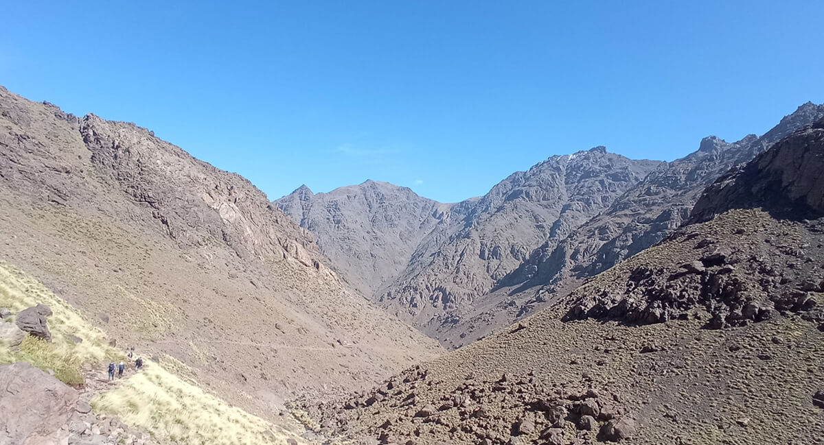
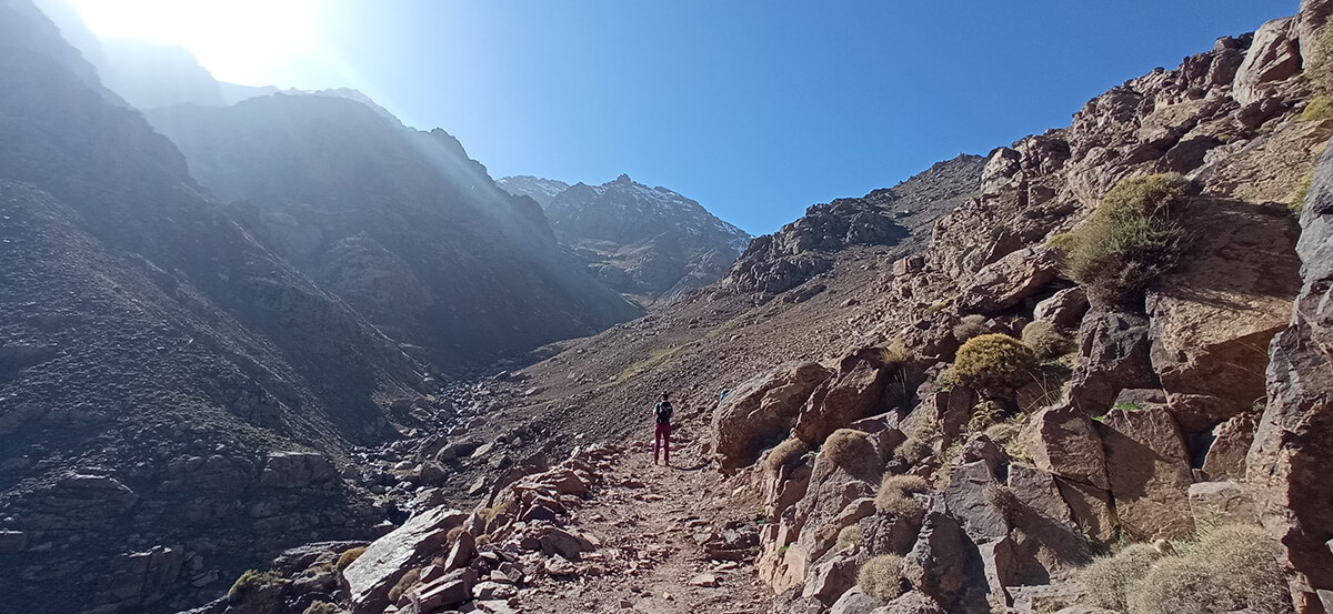
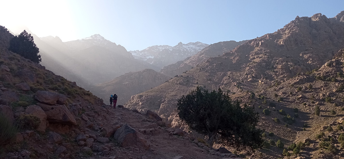
The trekking route around Toubkal, north Africa's highest peak, nestled in the majestic Atlas Mountains. This expedition promises a fusion of cultural immersion and natural challenges. Accompanied by local guides and reliable mules, we'll navigate the rugged terrain, setting up campsites under starlit skies and occasionally enjoying the comforts of quaint guesthouses. A highlight of our adventure includes a stay at a mountain refuge, embracing the vibrant mountain community ambiance. Starting from Imlil village, our path winds through picturesque valleys and traditional Berber settlements, offering rich cultural encounters. Traverse diverse landscapes, from pine forests to dramatic canyons, culminating in awe-inspiring panoramic vistas from the summit. Weather permitting, catch a glimpse of the distant Sahara Desert. Concluding our trek, immerse yourselves in the lively atmosphere of Marrakech, adding a vibrant finale to our remarkable journey.
What to expect
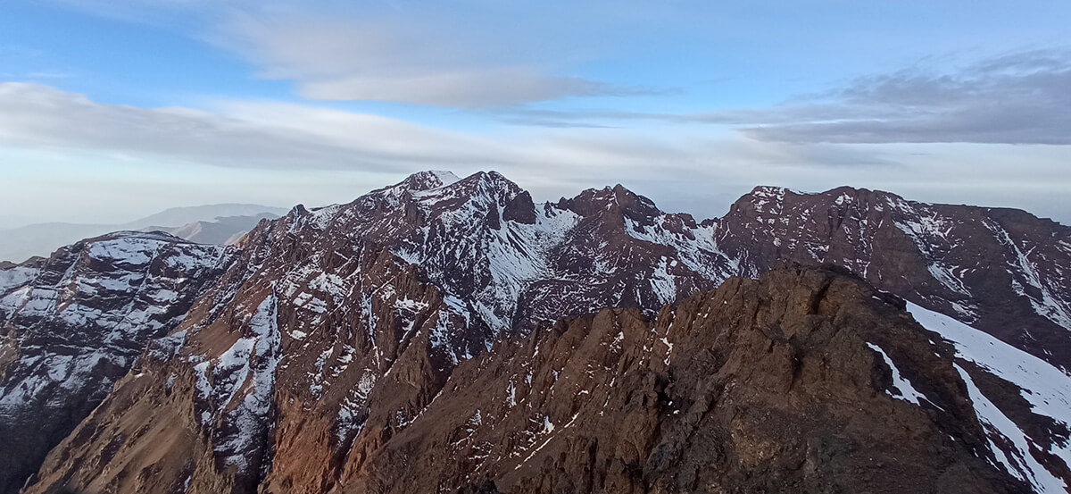
- Breathtaking Views: Experience stunning panoramic views of the Atlas mountains.
- Guest houses, campsites and a mountain refuge: Some nights you will find rest below the stars, others in real beds.
- Altitude Challenges: Reaching the summit of the Toubkal at 4.167m / 13.671ft will take us to the highest point in North Africa.
- Cultural and Natural Diversity: Interact with locals and their cuisine, appreciate unique flora and fauna, and face physical and mental challenges in a rejuvenating natural escape.
- Epic workshops: Every journey offers distinct experiences, giving you memories and skills to carry into your own adventures.
Quick details:
- Duration: 7 days
- Distance: 73.9km / 45.9mi
- Elevation gain: 5.764m / 18.910ft
- Difficulty: medium
- Lodging: 3 nights mountain hostel, 1 night mountain shelters, 3 nights campsite
Itinerary
Expand allCollapse allWelcome to the Atlas mountains
From Marrakech - Imlil - Tacheddirt
Pick at Marrakech old city at 10h. and travel to Imlil. Meeting with the guide, cook and mules. Afterwards, we will take a trail through forests, pass by the village of Tamatert, and ascend to the pass of Tizi n Tamatert before beginning the descent towards the Assif Imenane valley. We continue through the villages of Tamegguist, Ouaneskra, and arrive at Tacheddirt. We will stay at a guest house and savor our inaugural first traditional dinner toguether.
Distance: 10.2km / 6.3mi | Elevation gain/loss: 722m+/ 232m- // 2.369ft+/ 761ft-| Effective time: 3-4h
Our first night below the skies
From Tacheddirt to Azib N Likemt
After a good early breakfast we will start the real deal. We'll depart on a trail that crosses a river and reach the Irhzer n Likemt valley. We'll ascend to the highest point of the day and then we'll be able to see the eastern face of Toubkal and the expansive slopes of Iferouane. We will descend towards Azib n Likemt and we will enjoy a rejuvenating lunch along the way. Once we reach our goal we will unwind our tents and enjoy our first night under the skies.
Distance: 12.4km/ 7.7mi | Elevation gain/loss: 1.255m +/ 1.035m- // 4.117ft +/3.396ft-| Effective time: 6-7h
Absorbed by the environment
From Azib N Likemt to Amsouzart
We journey through a section of the Assif Tinzart valley until we reach the Tizi n Ourai pass. Continuing our descent, we enter the expansive Tifnout valley. Passing through the village of Tagounit, we arrive at Amsouzart, a village nestled between the Assif Tisgui and the Tinout Valley. Lunch will be served along the way. We will enjoy the night with a local family and delight ourselves with their food.
Distance: 15.8km / 9.8mi | Elevation gain/loss: 560m+/ 1.335m- // 1.837ft+/4.380ft-| Effective time: 6-7h
Night by the mountain lake
From Amsouzart to Lac Ifni
This day will be the most leisurely day of our journey. Departing from Amsouzart, we’ll follow the Asif n Islani and we'll pass through several Berber-style villages until we reach Imhilene. From there, we'll take a trail that ascends to Lake Ifni. Lunch will be served along the way. Again we will enjoy a great night out in our comfy tents.
Distance: 8.2km / 5.1mi| Elevation gain/loss: 709m+/ 167m- // 2.326ft+/ 548ft-| Effective time: 4-5h
Peaks & community
From Lac Ifni to Refuge du Mouflons
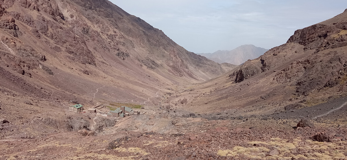
After breakfast by the lake, we set off towards the Refuge du Mouflons. We skirt the lake to the north and continue along a trail winding through stone forests and small waterfalls towards the Tizi n Ouanoums pass. From the pass, we'll be treated to a magnificent panorama of peaks over 4000m/13.000ft, including the long chain of Ouanoukrim peaks, from Ras to Biiguinoussenne. Descending into the Ait Mizane valley, we'll continue until we reach the refuge. Lunch will be provided along the way. This time it will be a mountaineer hut experience.
Distance: 9km / 5.6mi| Elevation gain/loss: 1.370m+/ 535m- // 4.495ft+/ 1.755ft- | Effective time: 5-6h
Summit day is here
From Refuge du Mouflons to Toubkal to Amred
After breakfast at the refuge, we'll embark on the DAY! The longest and hardest. But the reason we came. We will ascend to the summit of Toubkal (4.167m/13.671ft), the highest peak in North Africa. After soaking in the breathtaking views from the top, we'll return to the refuge for lunch and then continue our descent to Imlil. Following the main trail of the valley, we'll pass by the sanctuary "marabout de Sidi Chamharouch," also known as the Sultan of the Devil. Near it flows the Ait Mizane River. Dinner and accommodation will be in the little town of Aremd where our friend Hassam will be our host.
Distance: 15.7km / 9.7mi | Elevation gain/loss: 1.014m+/ 2.219m- // 3.327ft+/ 7.280ft-| Effective time: 7-8h
The end of our journey
From Amred to Marrakech
After a great adventure comes a great reward. But first we'll stretch our legs once more to finish what we started in Imlil (a 35-minute walk). There, our vehicle will be waiting to take us back to Marrakech, where we will arrive around 10:00 am. You'll have a free day to explore this city, also known as "the red pearl of southern Morocco." You can discover a city full of magic and uniqueness with a wide variety of places of great interest.
Night and last dinner in Riad.
Inclusions
- Planning, route preparation, and pre-trip online assistance
- UIMLA Certified mountain guide
- Accident insurance
- Guest houses, mountain shelter, tents and food
- Local guides and mules
- Welcome pack: Shirt & map
- All transportation from the meeting point
Exclusions
- Flight tickets
- Extra expenses at the mountain shelters such as drinks, hot showers or wifi
- Expenses caused by abandoning the route for any reason
Mandatory gear
- Waterproof windbreaker
- Warm clothing
- Breathable and comfortable clothes
- Long pants
- Mountain socks
- Mid to high-cut hiking boots
- Gloves, neck gaiter, and hat
- Change of clothes for the shelters
- Waterproof poncho/cap
- Backpack cover
- Sunglasses, sunscreen, lip balm
- Appropriate backpack
- Headlamp
- Sleeping bag (Renting is possible)
- Telescopic trekking poles
- Earplugs (recommended)
Route requirements
- Min age: 16 / Max age: 70
- Physical & endurance requirements: trip participants need to be in good shape and capable of trekking over mixed terrain for long distances (Around 8 hours). On average our trekking days are 6-7 hours per day.
- Type of terrain: rocky terrain with sometimes loose rocks. We could find snow on the highest mountain passes.
How to arrive to the route start point
Transportation from the meeting point is all included.
You May Also Like
Customer Reviews
Are you interested in this tour?
Fill out the form, and we’ll get in touch with you to provide more information and answer any questions.

