Epic Trek

No reviews yet

Duration

6 days

Distance

Elevation

Difficulty

Max Group

8

From

995 

Tour description

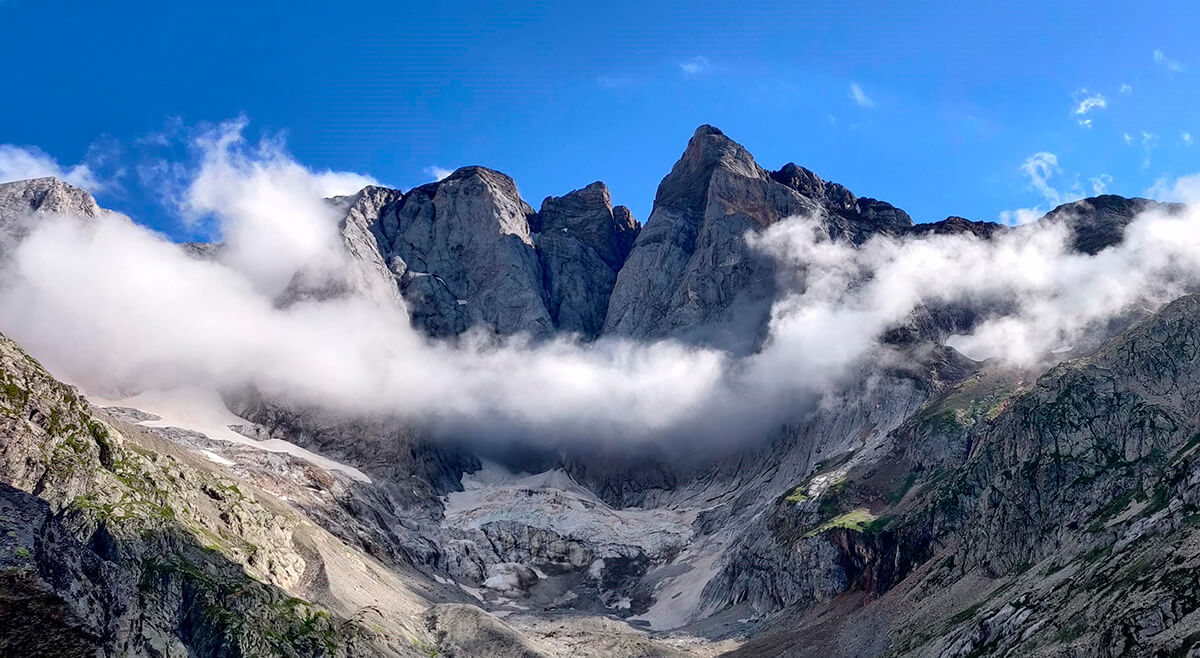
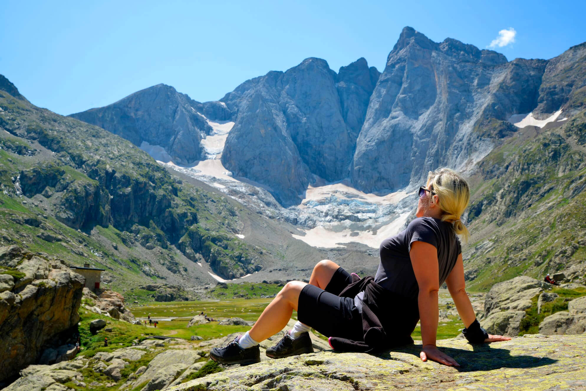
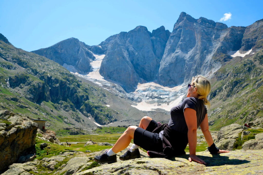
The Alta Ruta de los Perdidos is one of the great and classic treks in the Pyrenees, traversing two countries and two natural parks: the Ordesa y Monte Perdido Natural Park in Spain and the Parc National des Pyrénées in France. Amidst the highest peaks of the Pyrenees range, hikers are enraptured by alpine landscapes, majestic waterfalls, and the lingering vestiges of glaciers. From the Brecha de Rolando to the Cirque de Gavarnie, nature and mysticism intertwine, creating an immersive experience. Encircling the peaks of Monte Perdido (3.348m/10.984f) and Le Vignemale (3.299m/10.823f), the journey unveils the sheer majesty of nature. This demanding yet astonishing adventure not only fortifies the body but also elevates the spirit, forging a profound connection between adventurers and the mountain's grandeur.

What to expect

  • Breathtaking Views: Experience stunning panoramic views of the Pyrenees including Monte Perdido glacier, Brecha de Rolando and Cirque de Gavarnie.
  • Multi-Country Trek: Traverse Spain and France, immersing yourself in diverse cultures and landscapes.
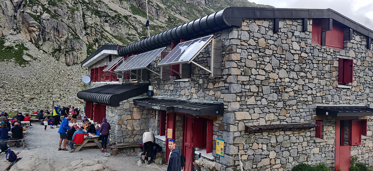
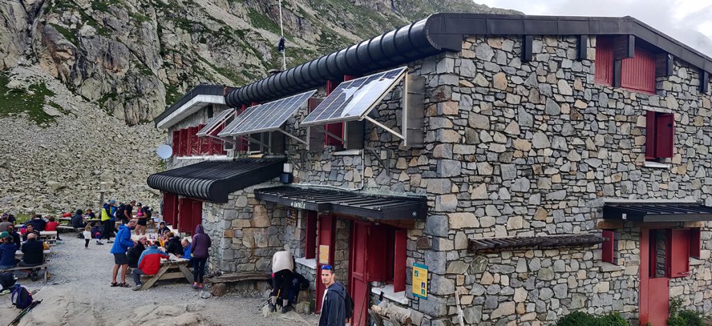
  • Mountain Refuges: Find rest and camaraderie in mountain refuges along the route.
  • Altitude Challenges: Encounter altitude challenges exceeding 2.000m / 6.500ft, adding excitement to the trek.
  • Epic workshops: Every journey offers distinct experiences, giving you memories and skills to carry into your own adventures.

Quick details

  • Duration: 6 days
  • Distance: 93km / 58mi
  • Elevation gain: 6.532m / 21.000ft
  • Difficulty: high
  • Lodging: 6 nights mountain shelters

La brecha de Rolando and Ordesa

Meeting with the guide in Bujaruelo. Presentation, review of material and route start.

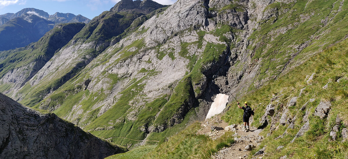
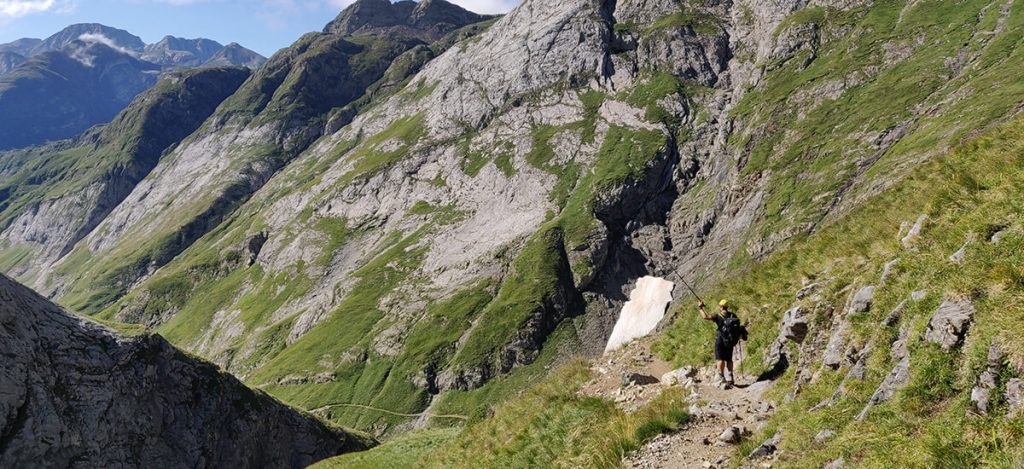
We will start our journey by crossing an old Roman bridge and ascending along a trail through a forest to Puerto de Bujaruelo. This pass is on the border with France. From here, we continue climbing until we reach Sarradets mountain hut. Next, we will face the last meters until La Brecha de Rolando (2.804m/ 9.199ft), a gap in the rock steeped in legend. Upon crossing, we will be back in Spain. Now we will continue through some rocky terrain to begin the descent along a trail that will take us to the Planas de Narciso, a beautiful green plain with daffodil plants everywhere during the right time of the year. From here, we continue without difficulty until we reach the Góriz refuge.

Distance: 16km / 10 mi | Elevation gain/loss: 1.626m+/ 761m- // 5.300 ft+/ 2.500ft- | Effective time: 7:30h

Towards Pineta valley

We leave Góriz gradually ascending to the Collado Superior de Góriz. Following the cairns northeastward, we pass through small creeks and waterfalls while enjoying stunning views of the area. The trail along the Faja de las Olas leads us to the Collado de Añisclo. Here, we encounter a section with chains to aid our progress. Carefully descending the long and demanding trail, we find some shade in a beech forest until we reach the Pineta Refuge.

Distance: 12.6km / 7.8mi | Elevation gain/loss: 625m+ / 1.583m- // 2.000ft+ / 5.200ft- | Effective time: 6h

Monte Perdido and its glacier

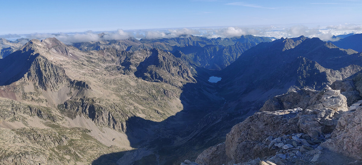
This stage will be the most challenging, but also incredibly rewarding. From the Pineta valley, we follow an easy trail until the start of a long and steep climb to Balcón de Pineta. Although easy to follow, the ascent is demanding. However, the breathtaking views of the entire valley along the way will make the effort worthwhile. Once at the top, we will be rewarded with views of the north face of Monte Perdido and its glacier. Continuing on, we reach Marboré Lake on the way to Tucarroya Refuge, an amazing tiny refuge nestled in the heart of a gap. From there, we ascend to the gap, crossing back into France, and then descend through a steep channel with many loose rocks, requiring careful descent. After descending from the Brecha de Tucarroya, we head towards the Horquette d'Alans along an ascending path. Finally, we descend to the Espuguettes Refuge, where we will enjoy unbeatable views

Distance: 17.2km / 10.6mi | Elevation gain/loss: 1.767m+/ 948m- //5.800ft+ / 3.100ft- | Effective time: 8h

The great Cirque de Gavarnie

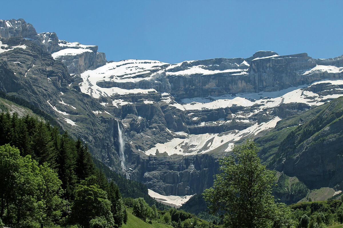
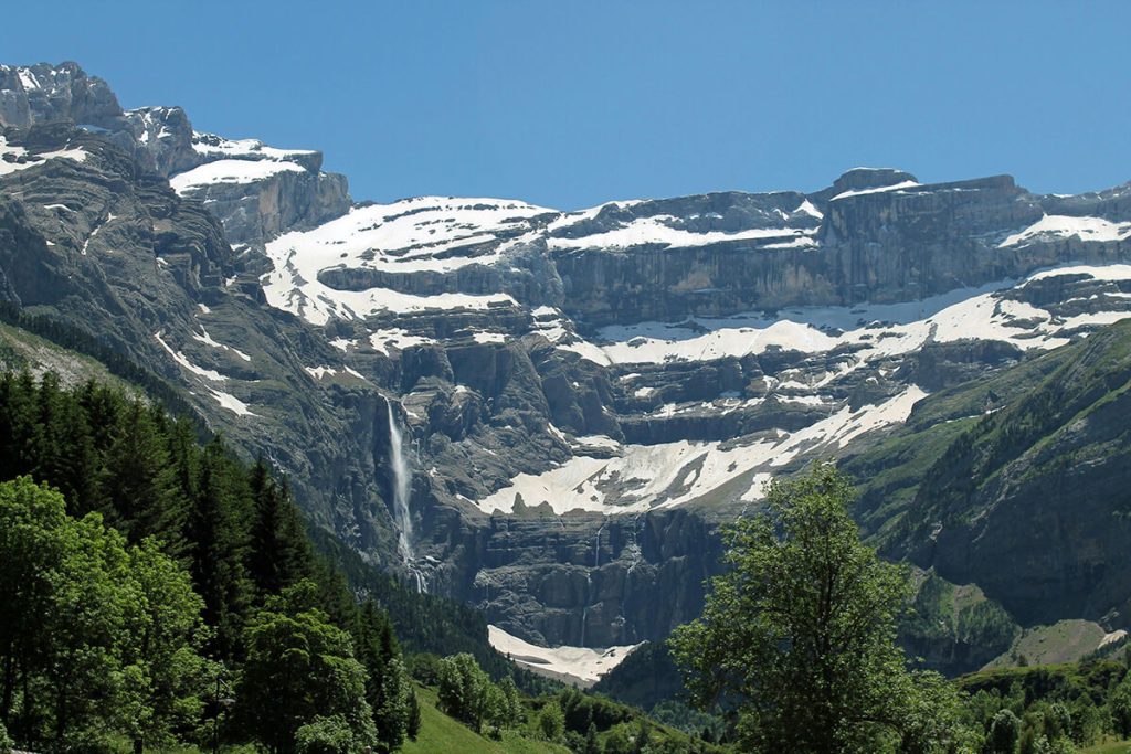
Today's journey will be more relaxing. After a steep descent, we'll follow the path to the Gavarnie Cirque, one of the jewels of the Pyrenees mountain range. We'll traverse a beautiful pine forest path that will lead us to the base of the imposing cirque. A leisurely stroll will then take us to the village of Gavarnie, from where we will head towards the Grange de Holle Refuge.

Distance: 11.7km / 7.2 mi | Elevation gain/loss: 365m+/ 877m- // 1.200ft+ / 2.800ft-| Effective time: 4h

Around Vignemale

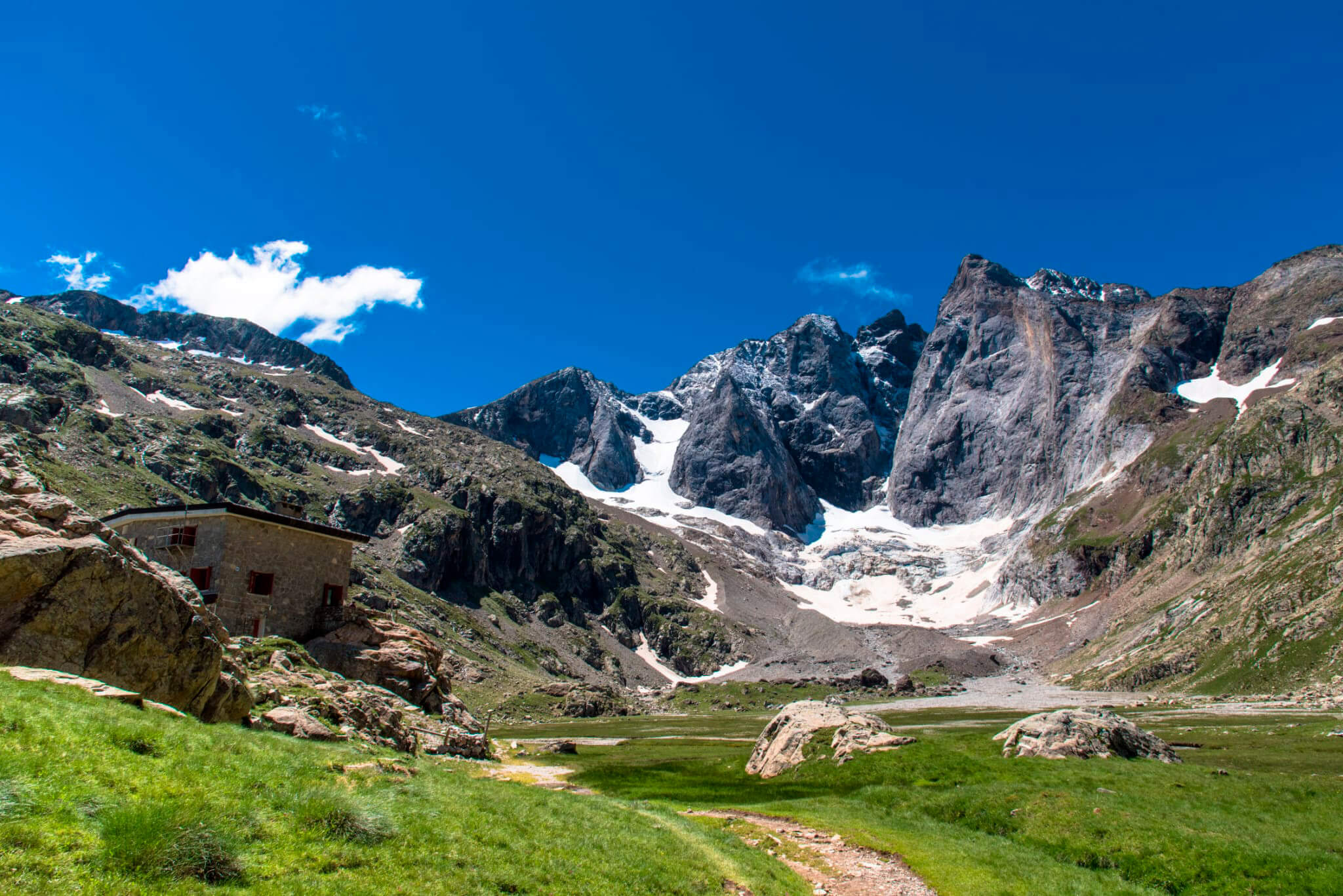
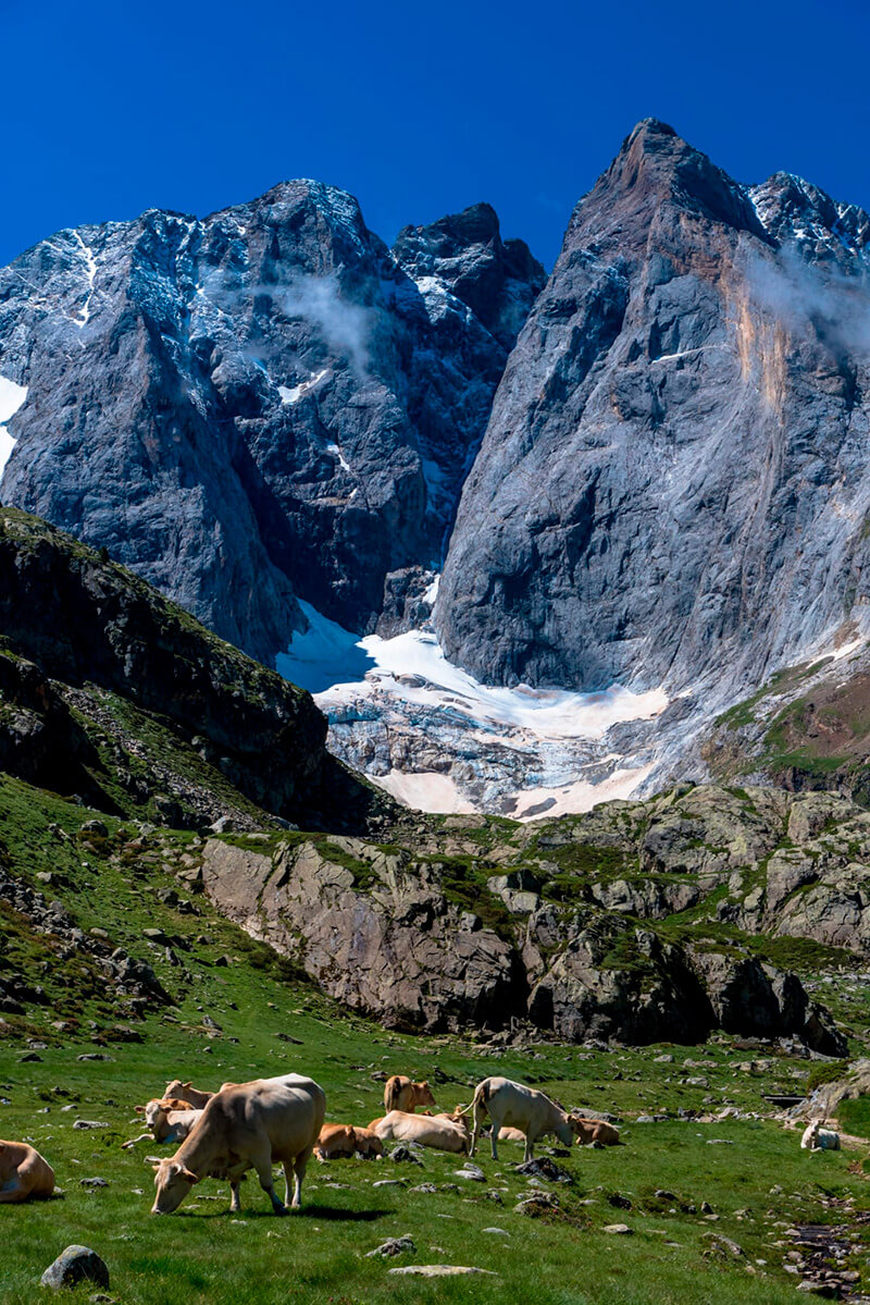
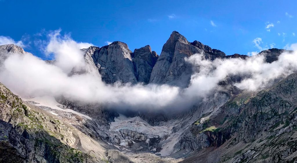
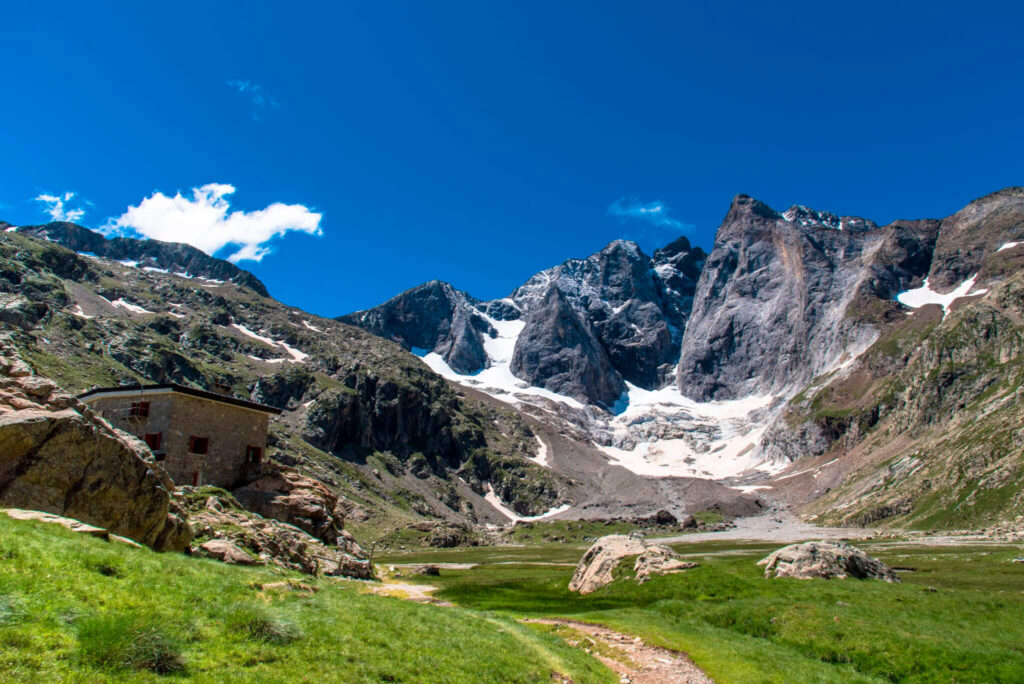
Today, we will journey along a forest path towards the Ossoue Valley. Along the way, we'll pass by the Lourdes Cabin before crossing the Ossoue Dam and embarking on the ascent that leads to the Bayssellance Refuge. It's here that the impressive Vignemale massif will accompany us for a while, offering stunning views. Continuing on, we'll follow the trail that ascends to the Horquette d'Ossoue before descending to the Oulèttes Refuge.

Distance: 19.6km / 12.2mi | Elevation gain/loss: 1.557m+/ 897m- // 5.000ft+ / 3.000ft- | Effective time: 8h
The last journey

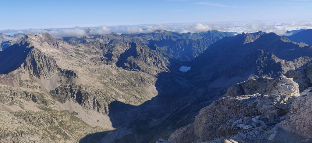
With the majestic Vignemale massif and its ancient glaciers as our companions, we embark on the final day of this incredible journey. Our ascent begins towards the Mules Pass. Upon returning to Spain, we will descend from the pass to the Ara Valley. Along the way, a long and gentle descent, accompanied by the soothing sounds of the river and the lush vegetation, will guide us back to the Roman Bridge of Bujaruelo and the refuge.

Distance: 16.6km / 10.3mi | Elevation gain/loss: 592m+/ 1443m- // 2.000ft+ / 4.700ft- | Effective time: 6h

Inclusions

  • Planning, route preparation, and pre-trip online assistance
  • UIMLA Certified mountain guide
  • Accident insurance
  • 5 night mountain shelter accommodation in half board ( dinner & breakfast)
  • Welcome pack: Shirt & map

Exclusions

  • Flight tickets
  • Transfer to/from Bujaruelo (Add transportation to your booking if necessary)
  • Meals not specified as included (Add picnic to your booking if necessary)
  • Extra expenses at the mountain shelters such as drinks, hot showers or wifi
  • Expenses caused by abandoning the route for any reason

Mandatory gear

  • Waterproof windbreaker
  • Warm clothing
  • Breathable and comfortable clothes
  • Long pants
  • Mountain socks
  • Mid to high-cut hiking boots
  • Gloves, neck gaiter, and hat
  • Change of clothes for the shelters
  • Waterproof poncho/cap
  • Backpack cover
  • Sunglasses, sunscreen, lip balm
  • Appropriate backpack
  • Headlamp
  • Sleeping bag liner (blankets available in shelters)
  • Telescopic trekking poles
  • Earplugs (recommended)

Route requirements

  • Min age: 16 / Max age: 70
  • Physical & endurance requirements: trip participants need to be in good shape and capable of trekking over mixed terrain for long distances (around 8 hours). On average our trekking days are 5-7 hours per day.
  • Type of terrain: rocky terrain with sometimes loose rocks. We could find snow on the highest mountain passes.

How to arrive to the route start point

Avanza Bus from Barcelona Diagonal to Barbastro.

Avanza Bus from Barbastro to Fiscal.

Avanza bus from Fiscal to Torla-Ordesa.

www.avanzabus.com

You May Also Like

Customer Reviews

No reviews yet
Leave a Reply

Your email address will not be published. Required fields are marked *

  • Location
  • Amenities
  • Services
  • Price
  • Rooms

Are you interested in this tour?

Fill out the form, and we’ll get in touch with you to provide more information and answer any questions.