See More
Tour description
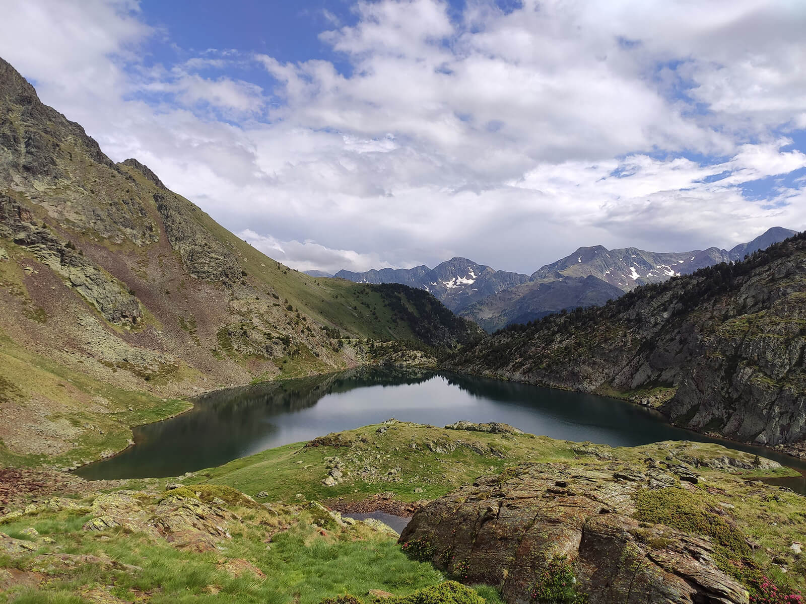
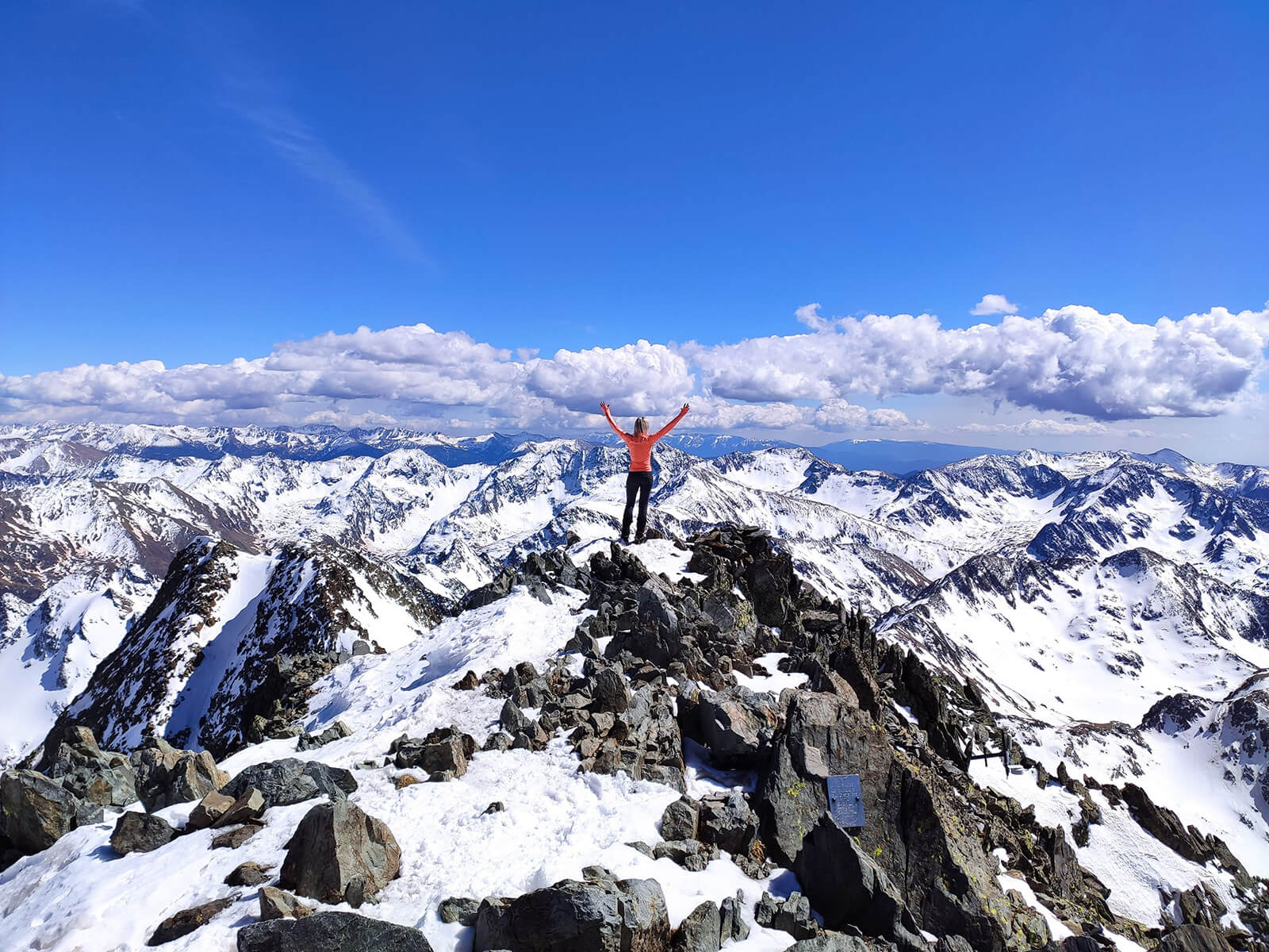
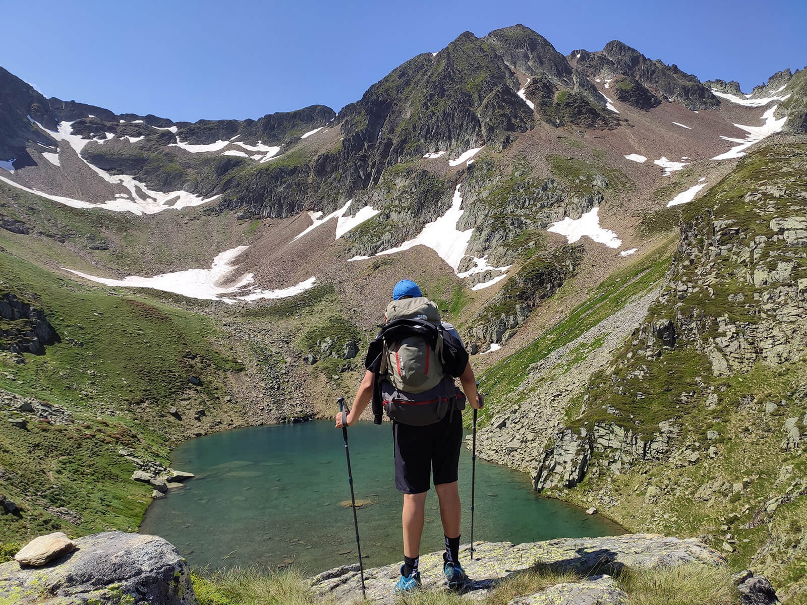
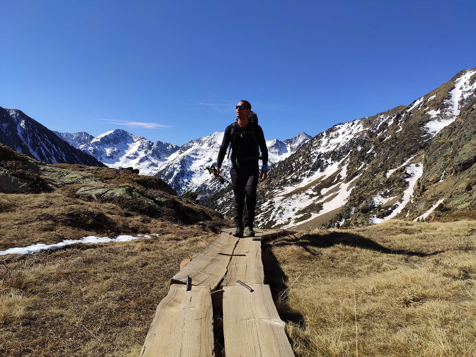
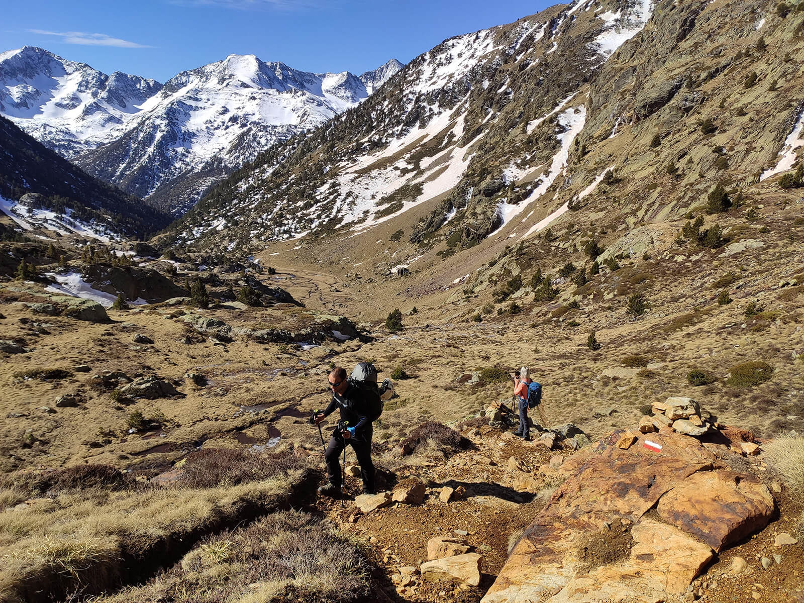
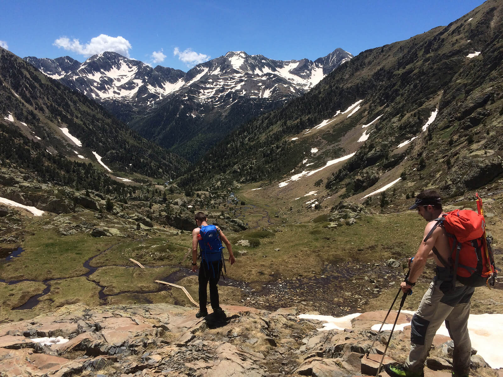
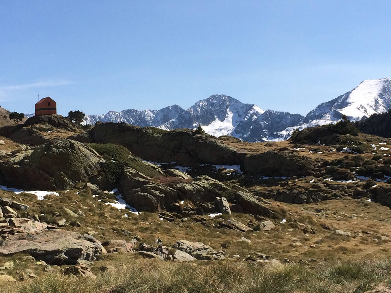
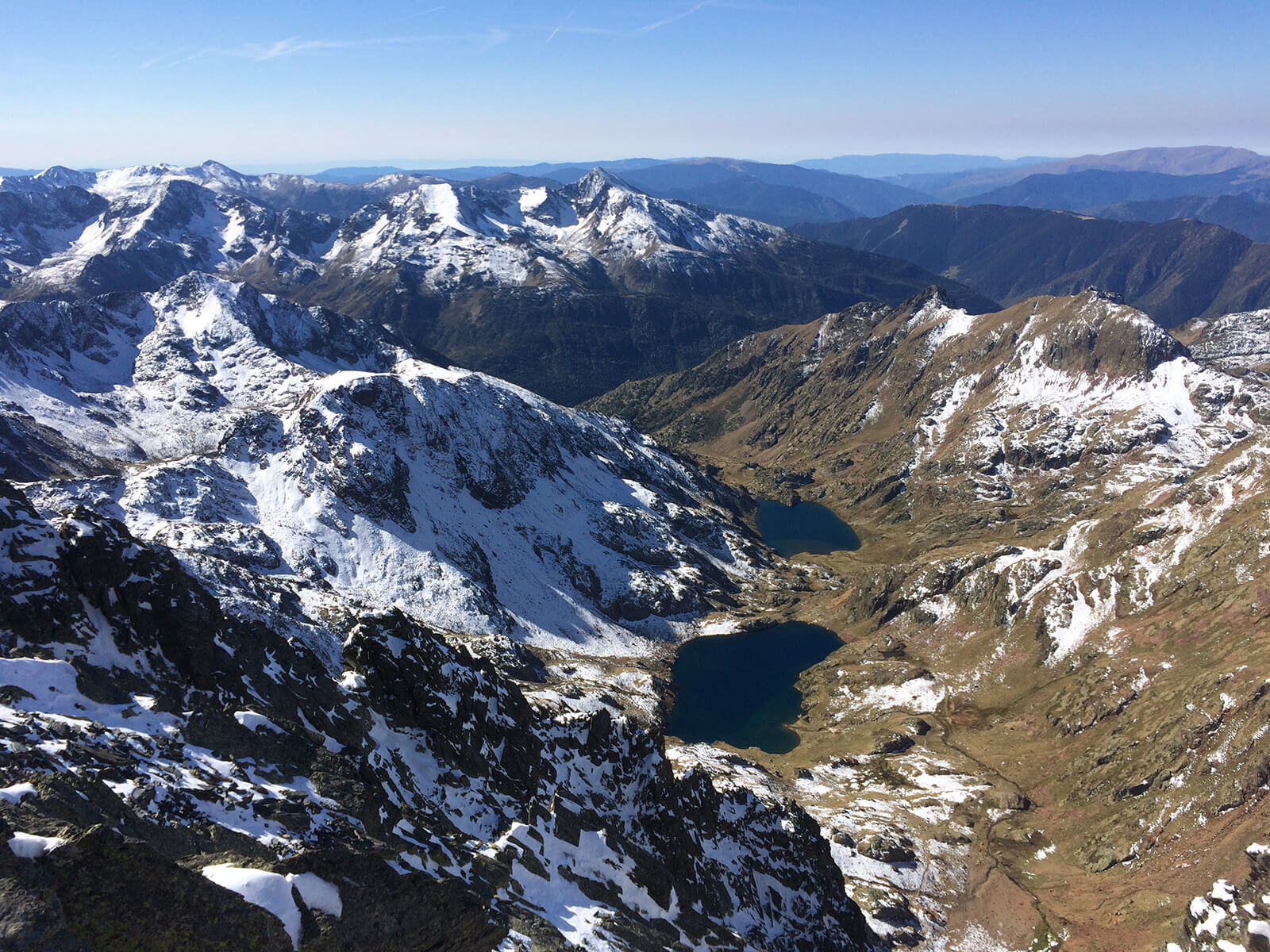
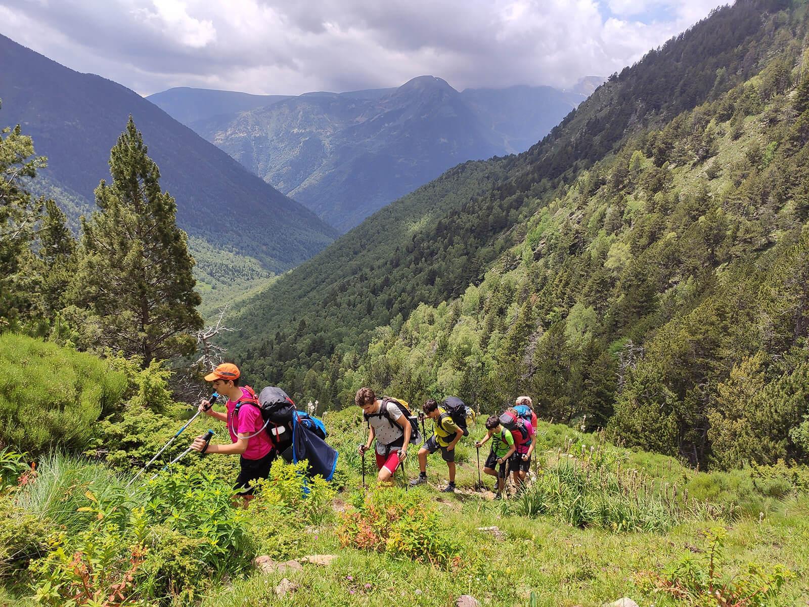
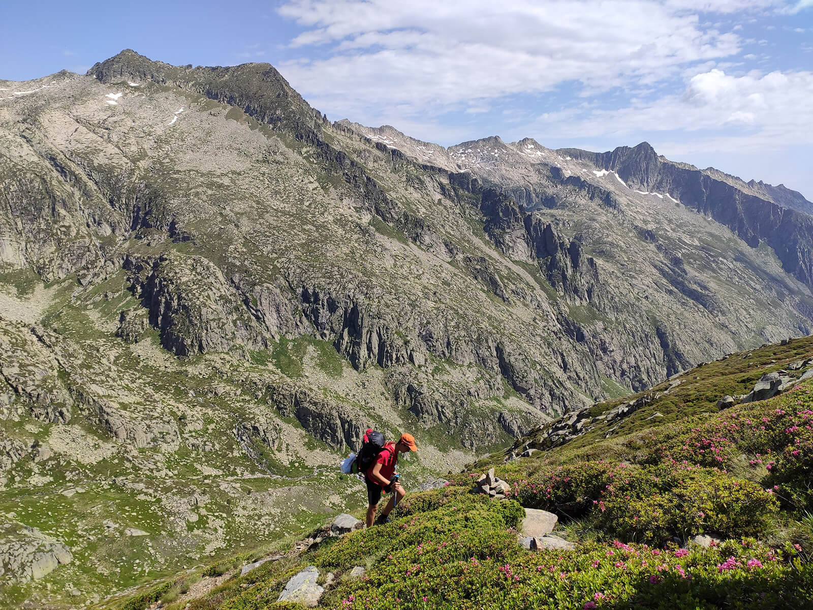
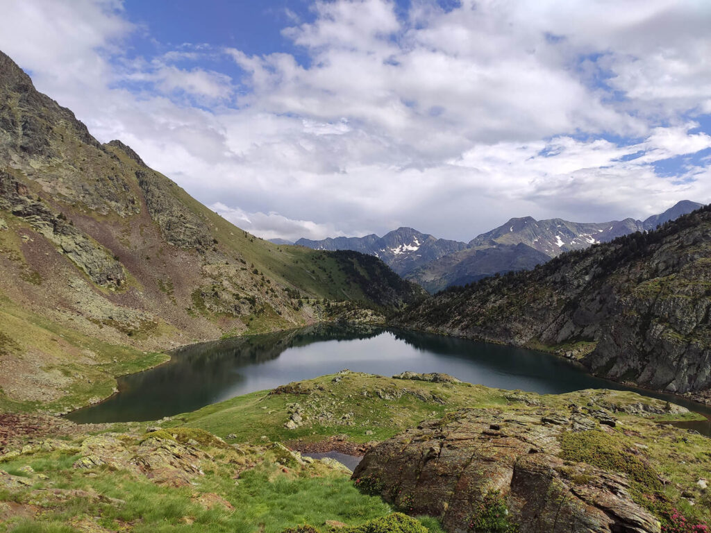
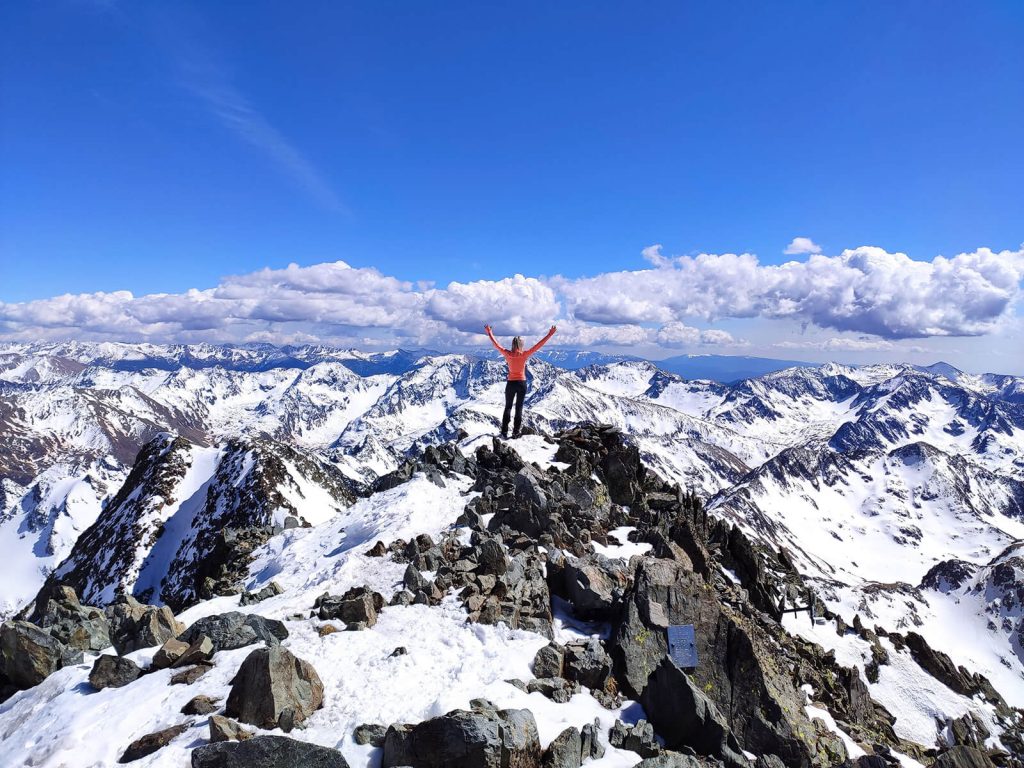
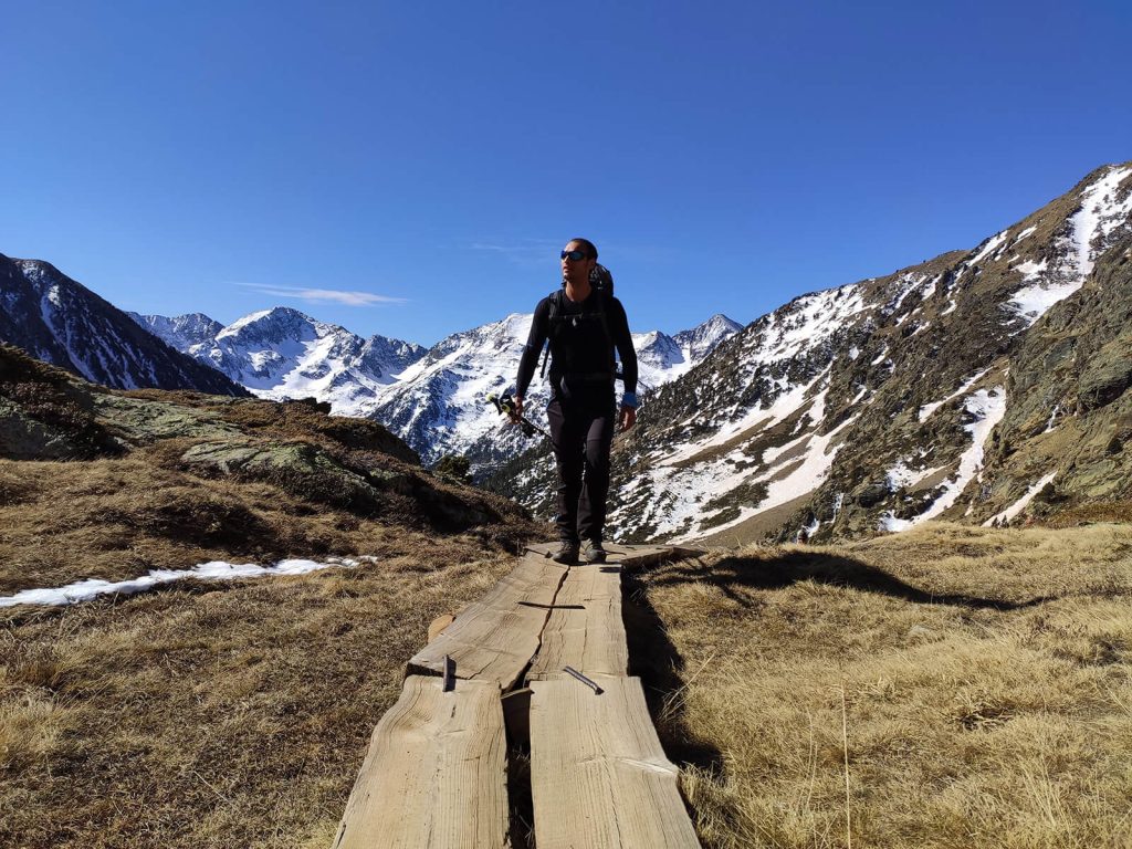
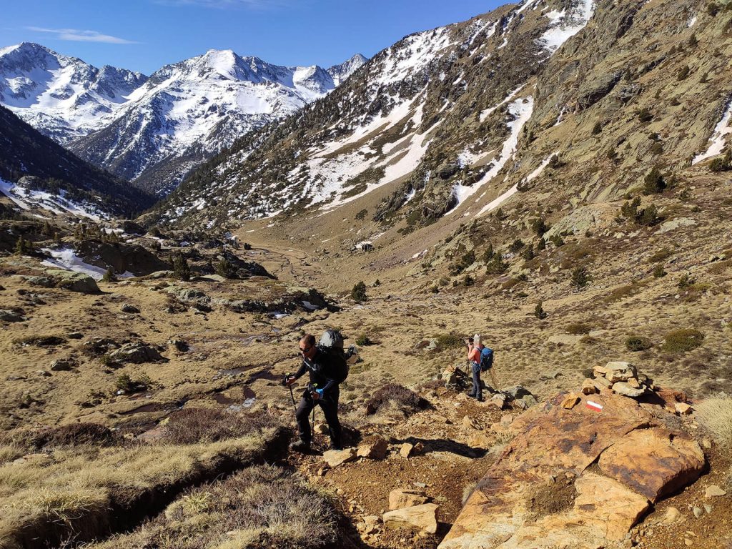
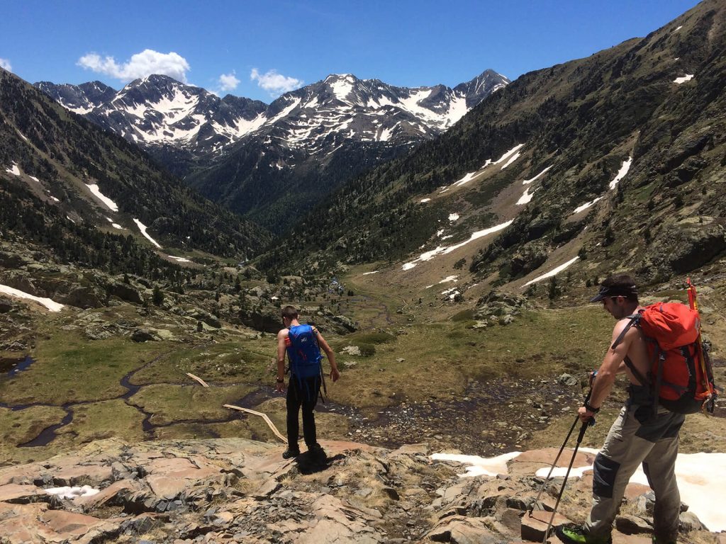
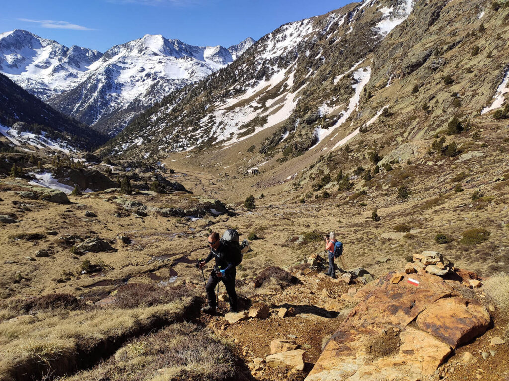
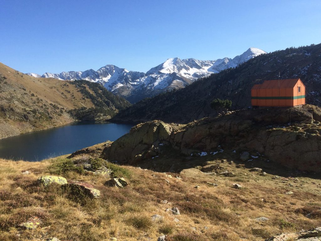
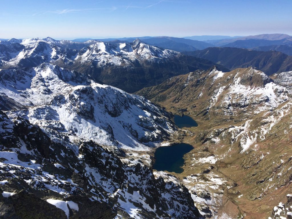
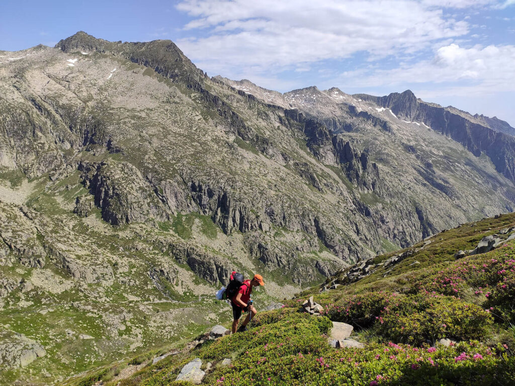
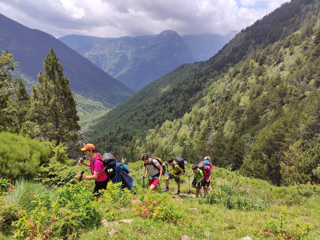
La Porta del Cel Trekking is a high mountain route that runs between the Catalan Pyrenees (Pallars Sobirá) and the French Pyrenees (Ariege). The route passes through the Alt Pirineu Natural Park, the largest protected area in Catalonia. This natural park is characterized by lush forests, deep valleys and high mountains, which exceed 3.000m / 10.000ft in altitude like the Pica d'Estats (3.143m /10.300ft), the most iconic and highest mountain in Catalonia which we will ascend during our adventure. Likewise, the Porta del Cel also allows us to ascend the beautiful Certescan peak (2.853m / 8.480ft) and visit numerous lakes of glacial origin, including one of the largest and deepest in the entire Pyrenean mountain range: Certescan lake. This central area of the Pyrenees stands out for its impressive and wild high mountain landscapes that offers an adventurous journey through remote and pristine wilderness, providing a sense of exploration and connection with nature. This is what you can expect when undertaking this adventure:
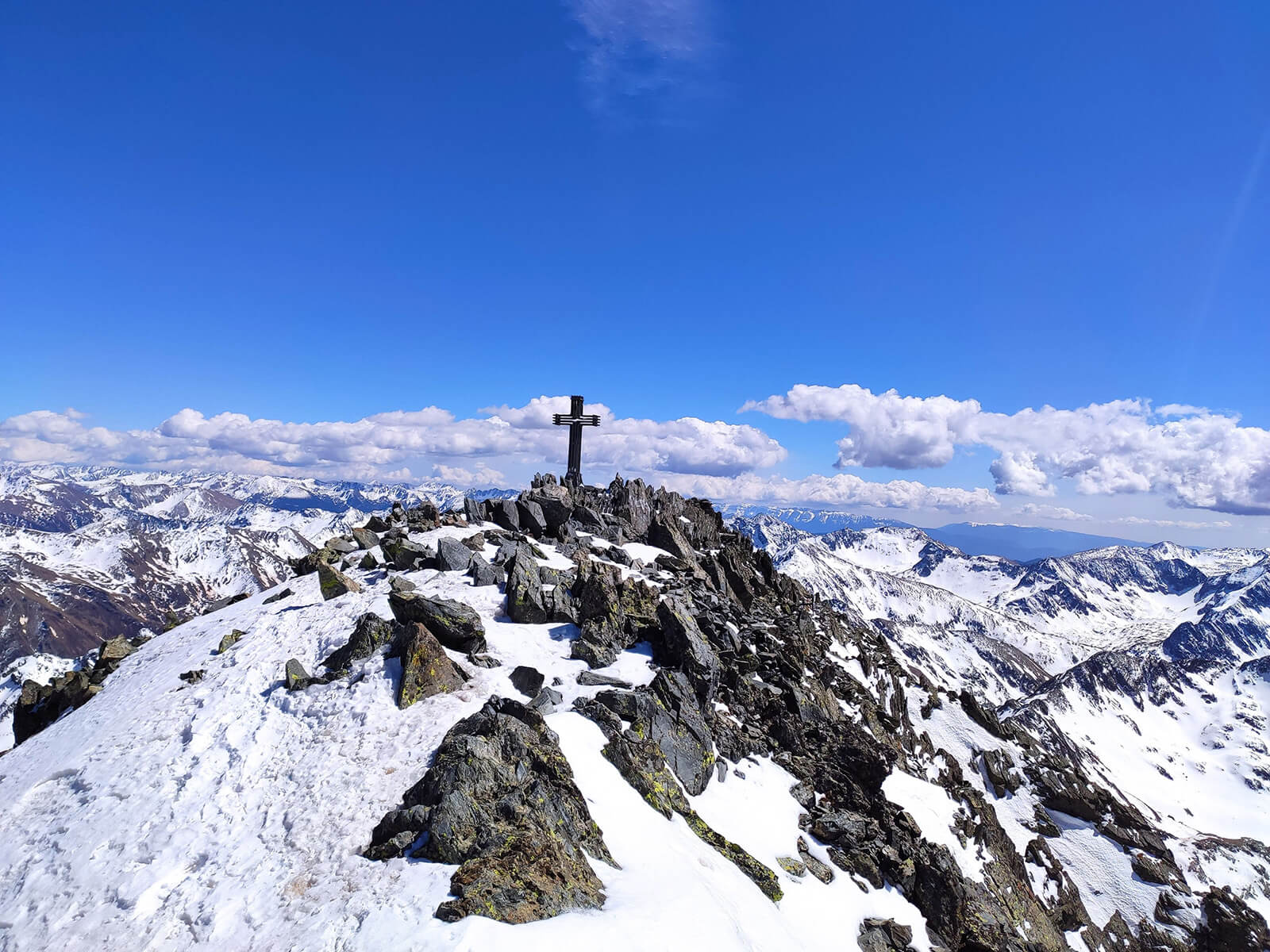
- High-Altitude Adventure: The route includes ascents to notable peaks such as Pica d'Estats (3.143m / 10.300ft), the highest in Catalunya.
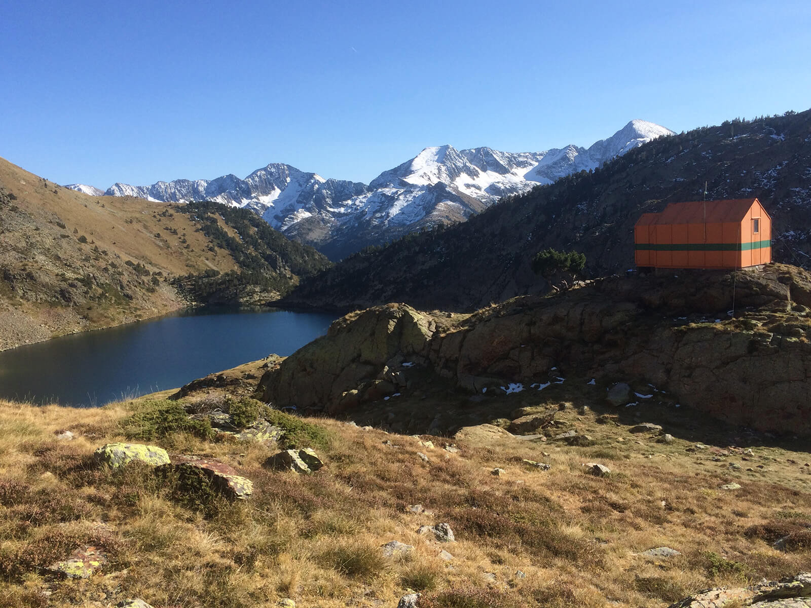
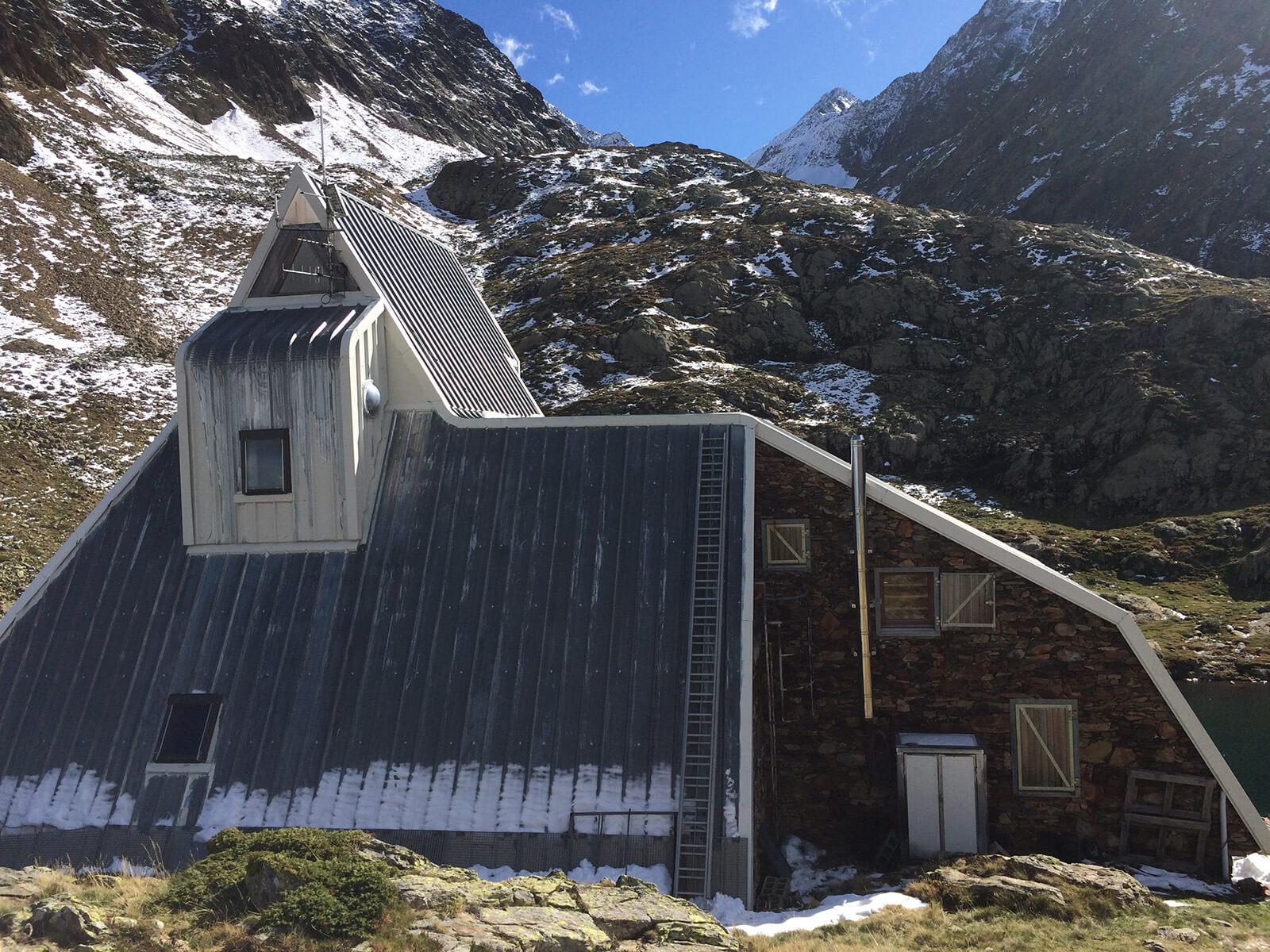
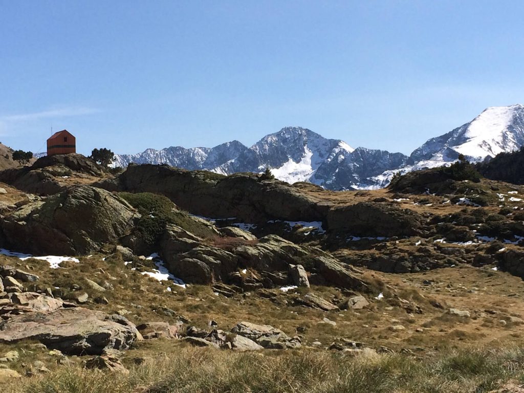
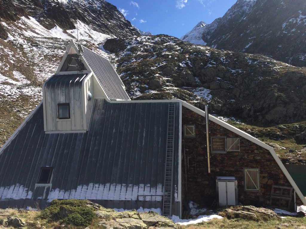
- Mountain Refuges: The route links four refuges. These refuges offer shelter, meals, and a chance to connect with fellow trekkers.
- Landmarks and Natural Wonders: Trekkers will encounter impressive landmarks, including the largest natural lake in the Pyrenees, Lake Certascan.Â
- Crossing Borders: The route takes you across two countries, exploring the Ariège region in France and the Pallars Sobirà in Catalonia.
- Epic workshops: Every journey offers distinct experiences, giving you memories and skills to carry into your own adventures.
Quick details
- Trekking days: 5 days
- Distance: 65 km / 40 mi
- Elevation gain: 5.550m+/ 18.000 ft+
- Difficulty: medium - high
- Lodging: 4 nights in Mountain Shelters
Itinerary
Expand allCollapse allAn easy but beautiful start
Distance: 4.2km / 2.6mi | Elevation gain/loss: 290m+/ 50m- // 950ft+ / 160ft- | Effective time:2h
Meeting with the guide in Tavascan. Presentation, review of material and route start.
Although this stage is carried out at relatively low altitudes, the route is very beautiful with varied landscapes.We start the route crossing the town of Tavascan, which still preserves stone houses and slate roofs. The route then follows an old path following the course of the Tavascan River. Continuing through a flat area surrounded by meadow that leads to the Bordes de Graus campsite, where our first shelter is located.
Through farmhouses and mountain lakes
Distance: 12.5km / 7.7mi | Elevation gain/loss: 1.500m+/ 620m- // 4.900ft+ / 2.000ft- | Effective time: 7h
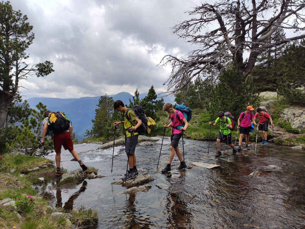
Although the Bordes of Noarre are located in a bucolic environment, this stage (which also follows the crossing of the Pyrenees) has as its main attraction getting to know all the "Estanys Blaus" (blue lakes).
The Bordes of Noarre (Farmhouses) cannot be accessed by car and yet they are very well preserved. There are no longer any permanent inhabitants in the Bordes de Noarre and they are only used by vacationers.
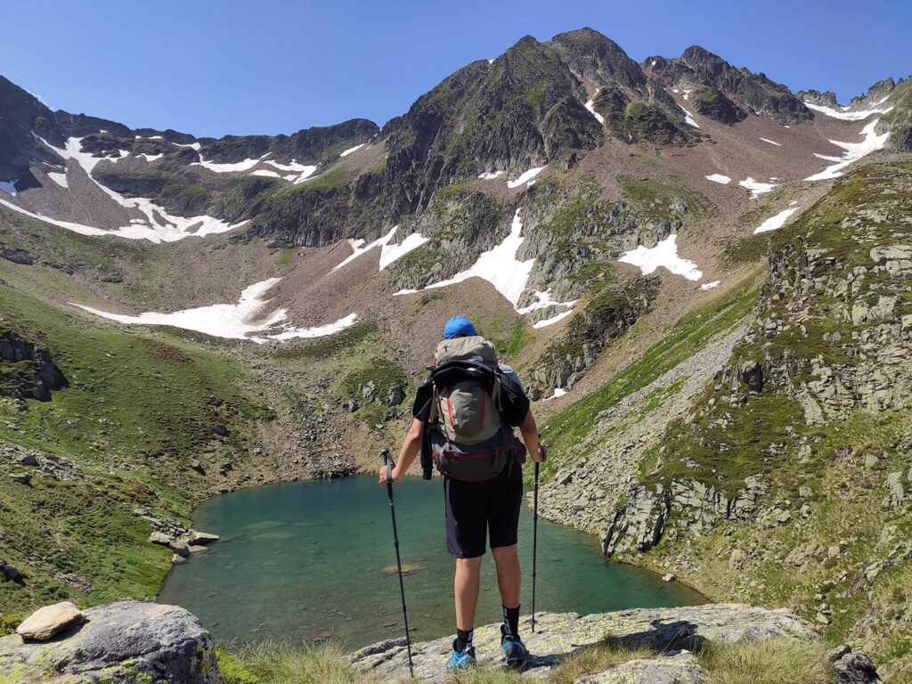
The highlight of the day would be ascending the Certascan Peak which with its 2.585m / 8.480ft offer breathtaking views of the surrounding valleys. Today’s route will bring us to Certascan, the biggest lake on the Pyrenees!
Although going up to the Certascan peak we have to overcome a significant slope, the route is not excessively long.
The border crossing
Distance: 12.6km / 7.8mi | Elevation gain/loss: 1.258m+ / 1.249m- // 4.100ft+ / 4.100ft- | Effective time: 8h
This stage is magnificent, because in addition of passing through the beautiful lakes of Romedo, it takes us through the lonely valley of Artiga and Lake Montestaure, where even the cattle roads have practically disappeared.This stage of the route crosses the French border, without barriers or customs, because the mountain does not know those imaginary lines that have invented men.
Once we have crossed to the French side we will be able to admire the impressive slopes of the French valleys, where abysses of more than 2.000m / 6.500ft open up to us.
The top of the Catalans
Distance: 11.6km / 7.2mi | Elevation gain/loss: 1.263m+/ 1.372m- // 4.150ft+ / 4.500ft- | Effective time: 7h
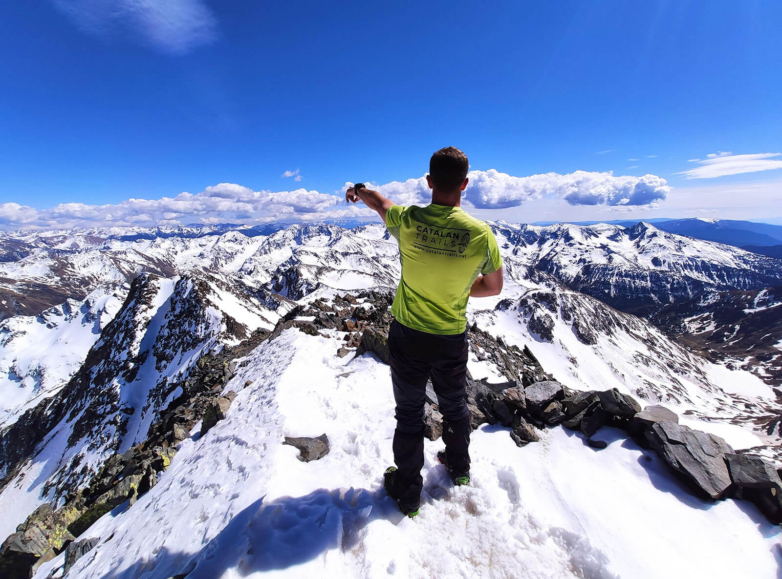
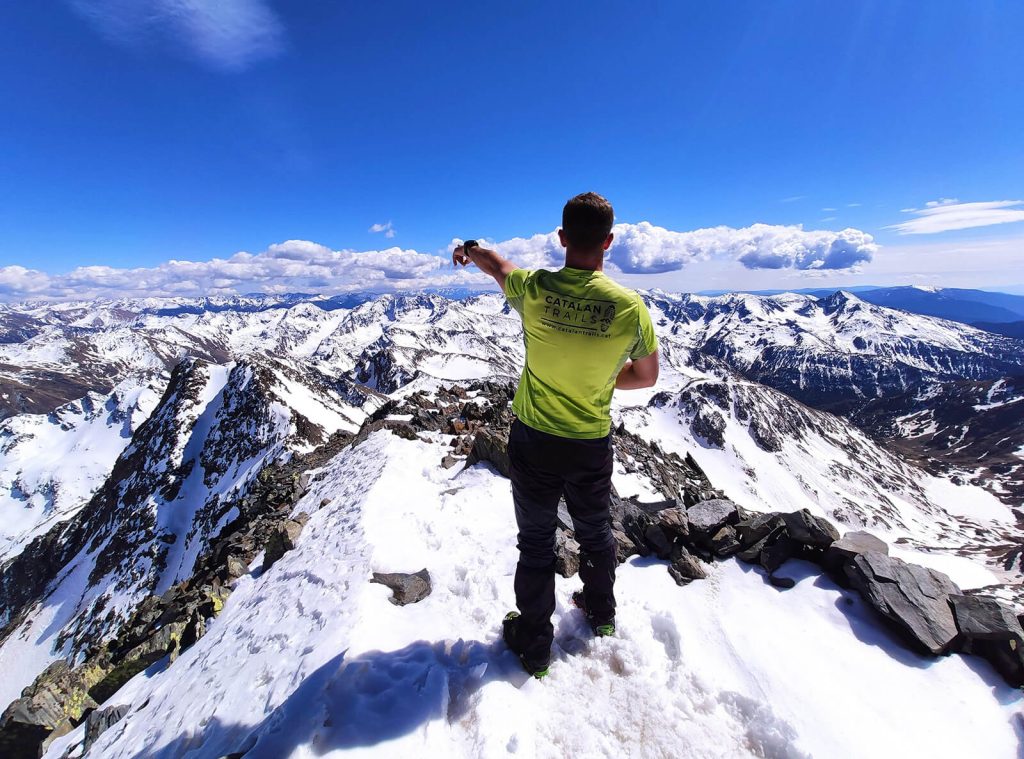
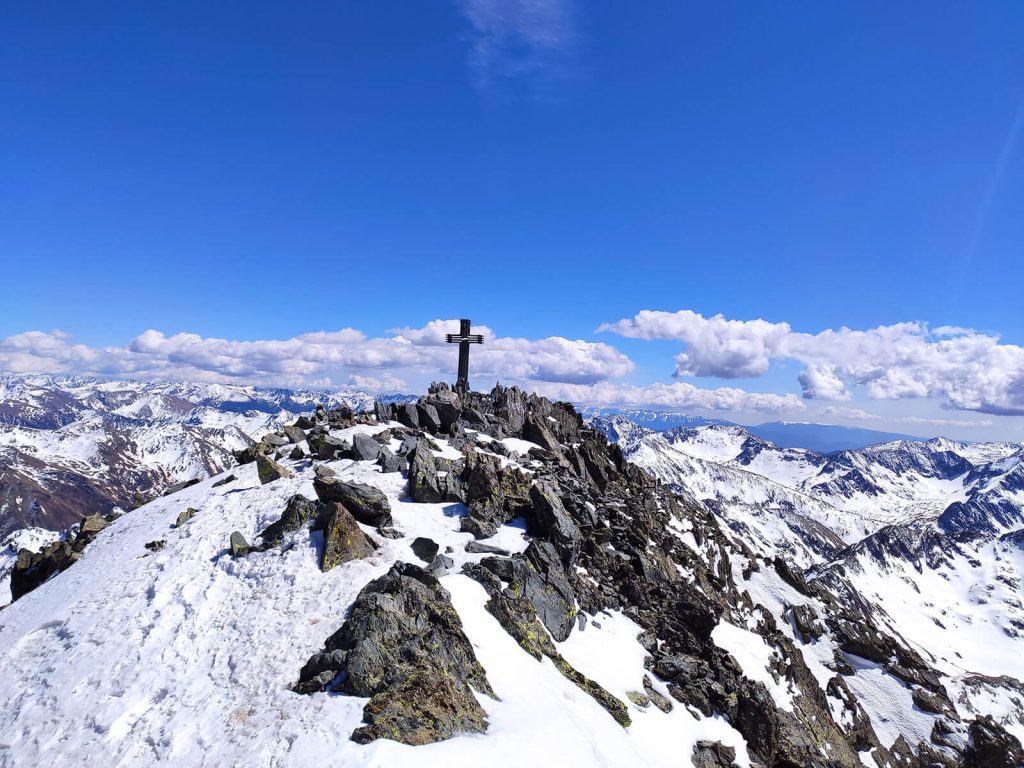
This stage will take us to the highest peak in Catalonia, the Pica d'Estats (3.143m / 10.300ft), along a route little frequented compared to the Catalan side, although it is increasingly known, especially during the winter by backcountry skiers.
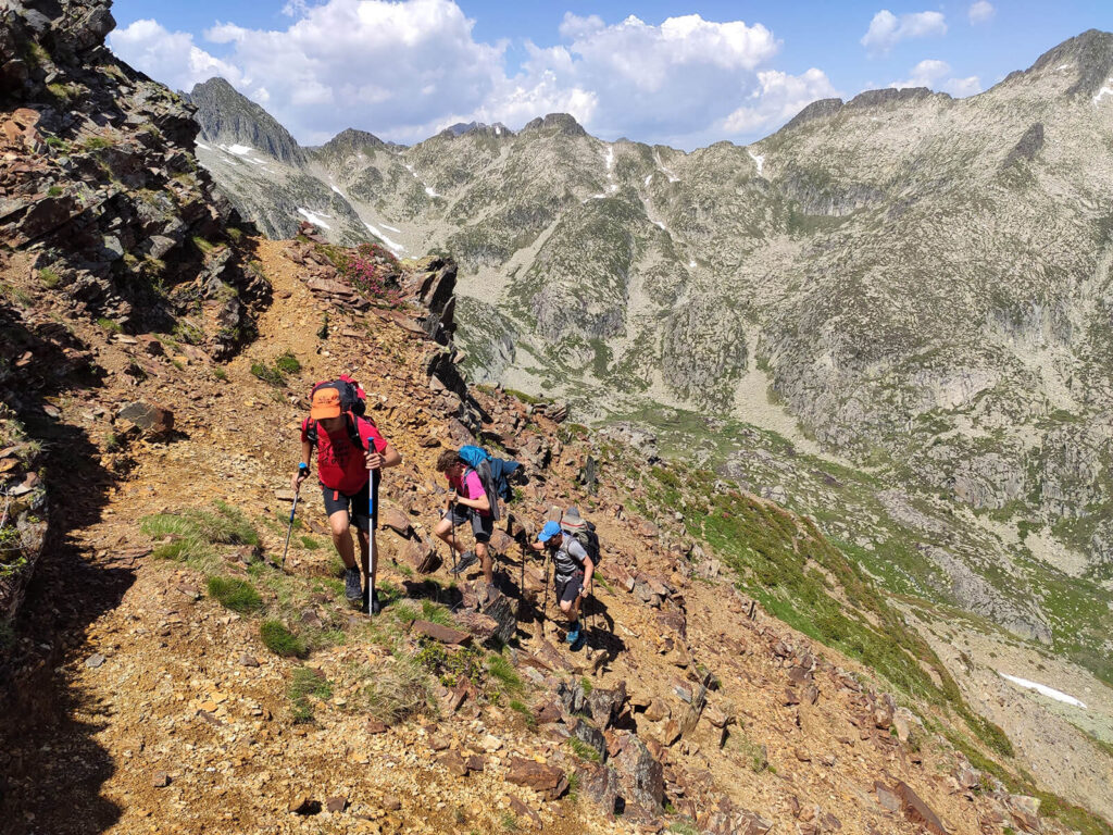
The landscape is always very rugged and a large part of the route takes place along stone screes, although when ascending along this slope, the slope from the Pinet refuge is much shorter than through Catalunya and it is one of the most restful and beautiful days of the entire route.
In the circuit, only the climb to the highest point of Pica d'Estats is "mandatory", but with a little more time, we can also climb Montcalm & Verdaguer peaks.
The last ride in the skies
Distance: 17.7km / 11mi | Elevation gain/loss: 1.174m+/ 1.967m- // 3.850ft+ / 6.450ft- | Effective time: 8h
The last stage of the route passes through the beautiful Baborte lakes, climbs the 2.667m / 8.750ft Roca Cigalera and follows the ridge to later flank the BoldÃs plains to finally reach the GR 11 that will bring us back to Tavascan.
Inclusions
- Planning, route preparation and pre-trip online assistance.
- UIMLA Certified mountain guide
- Accident insurance
- 4 night mountain shelter accommodation in half board (dinner & breakfast)
- Welcome Pack: Exclusive Epic shirt of the trek & original topographic map of the region
Exclusions
- Flight tickets
- Transfer to/from Tavascan (add transportation to your booking if necessary)
- Meals not specified as included (add picnic to your booking if necessary)
- Extra expenses at the mountain shelters such as drinks, hot showers or wifi
- Expenses caused by abandoning the route for any reason
Mandatory gear
- Waterproof windbreaker
- Warm clothing
- Breathable and comfortable clothes
- Long pants
- Mountain socks
- Mid to high-cut hiking boots
- Gloves, neck gaiter, and hat
- Change of clothes for the shelters
- Waterproof poncho/cap
- Backpack cover
- Sunglasses, sunscreen, lip balm
- Appropriate backpack
- Headlamp
- Sleeping bag liner (blankets available in shelters)
- Telescopic trekking poles
- Earplugs (recommended)
Route requirements
- Min age: 16 / Max age: 70
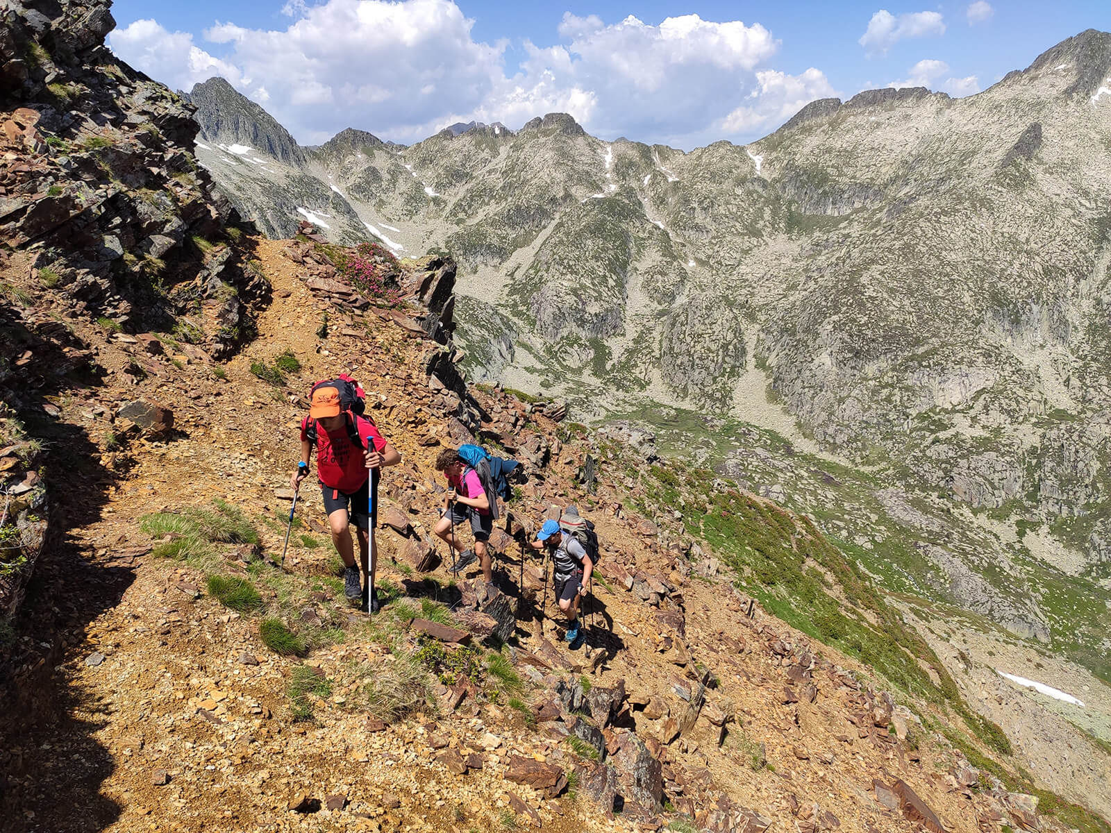
- Physical & endurance requirements: trip participants need to be in good shape and capable of trekking over mixed terrain for long distances (around 8 hours). On average our trekking days are 5-7 hours per day.
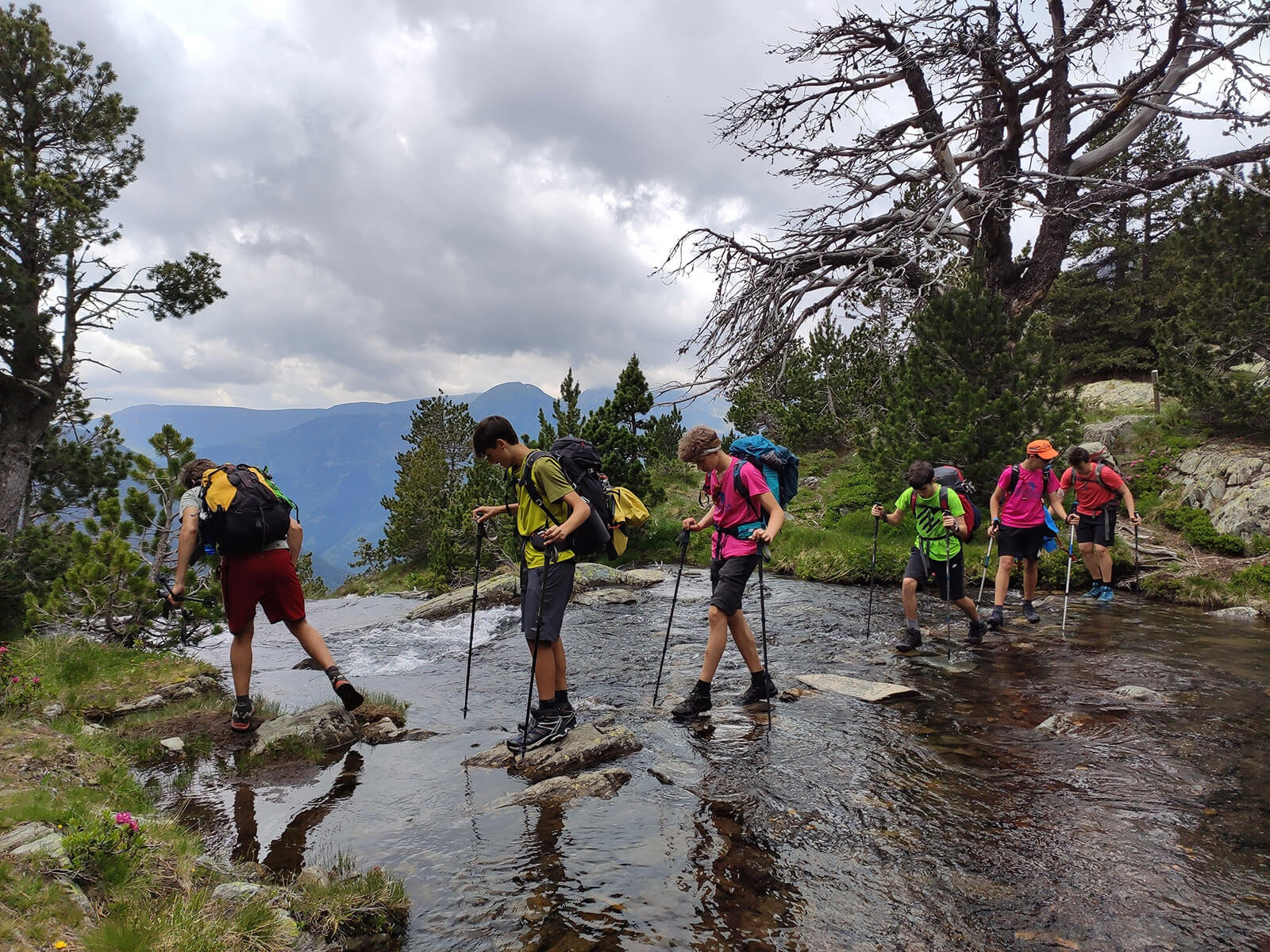
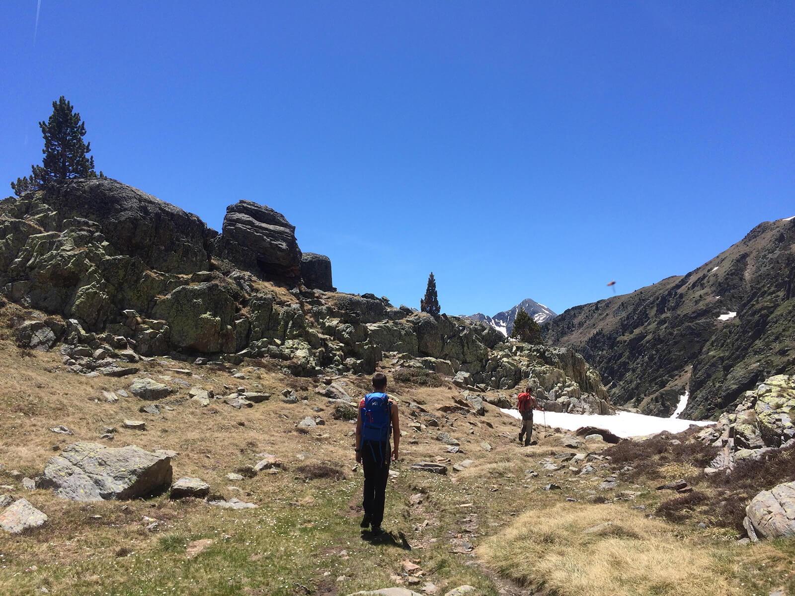
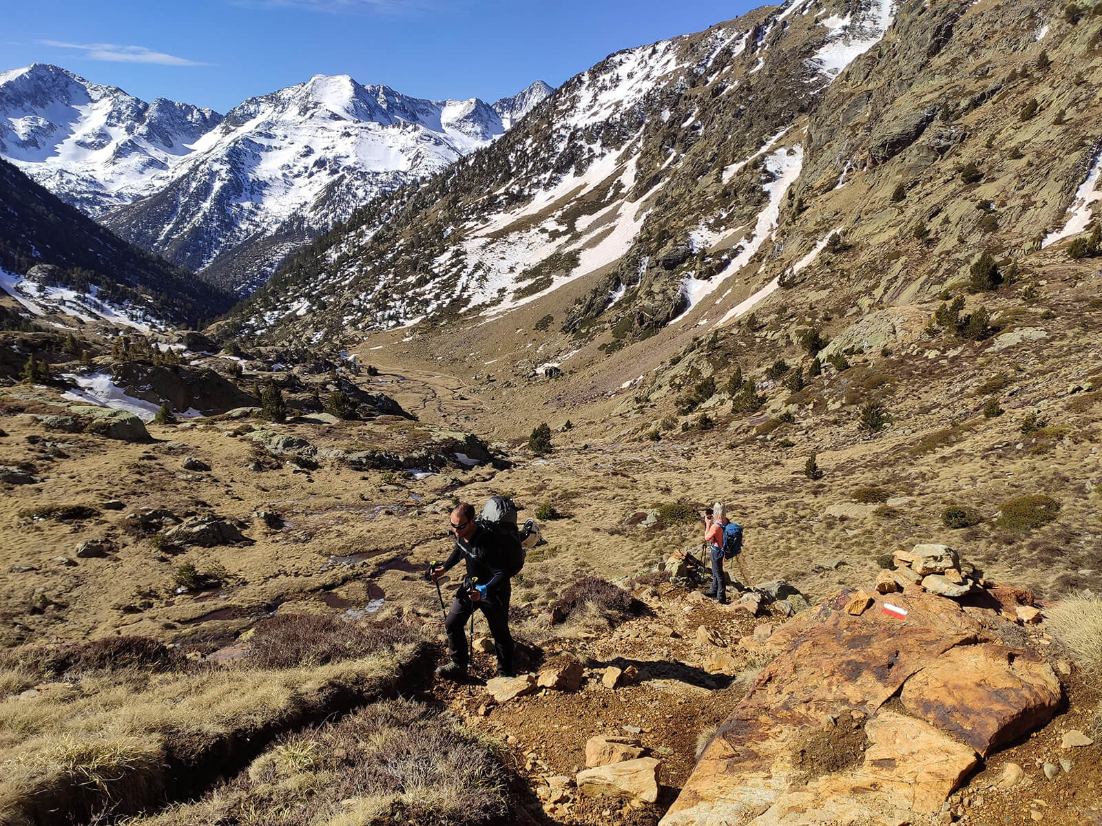
- Type of terrain: rocky terrain with sometimes loose rocks. We could find snow on the highest mountain passes.
How to arrive to the route start point
Alsa Bus from Barcelona Nord station to LlavorsÃ
Local Taxi from Llavorsà to TavascanÂ
+34 619 811 516
+34 616 992 603
You May Also Like
Customer Reviews
Are you interested in this tour?
Fill out the form, and we’ll get in touch with you to provide more information and answer any questions.