See More
Tour description
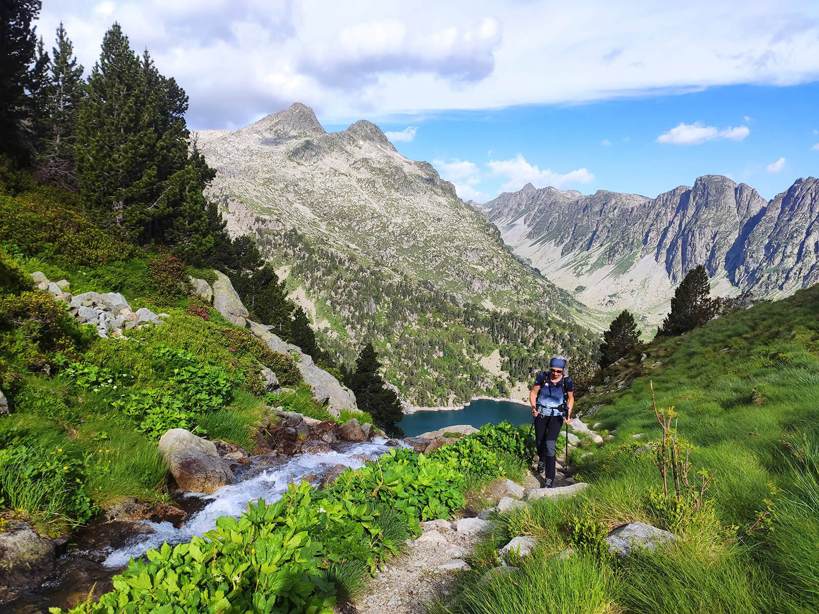
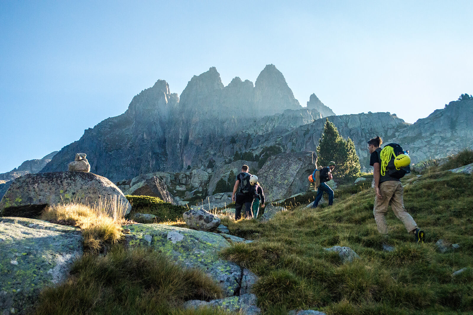
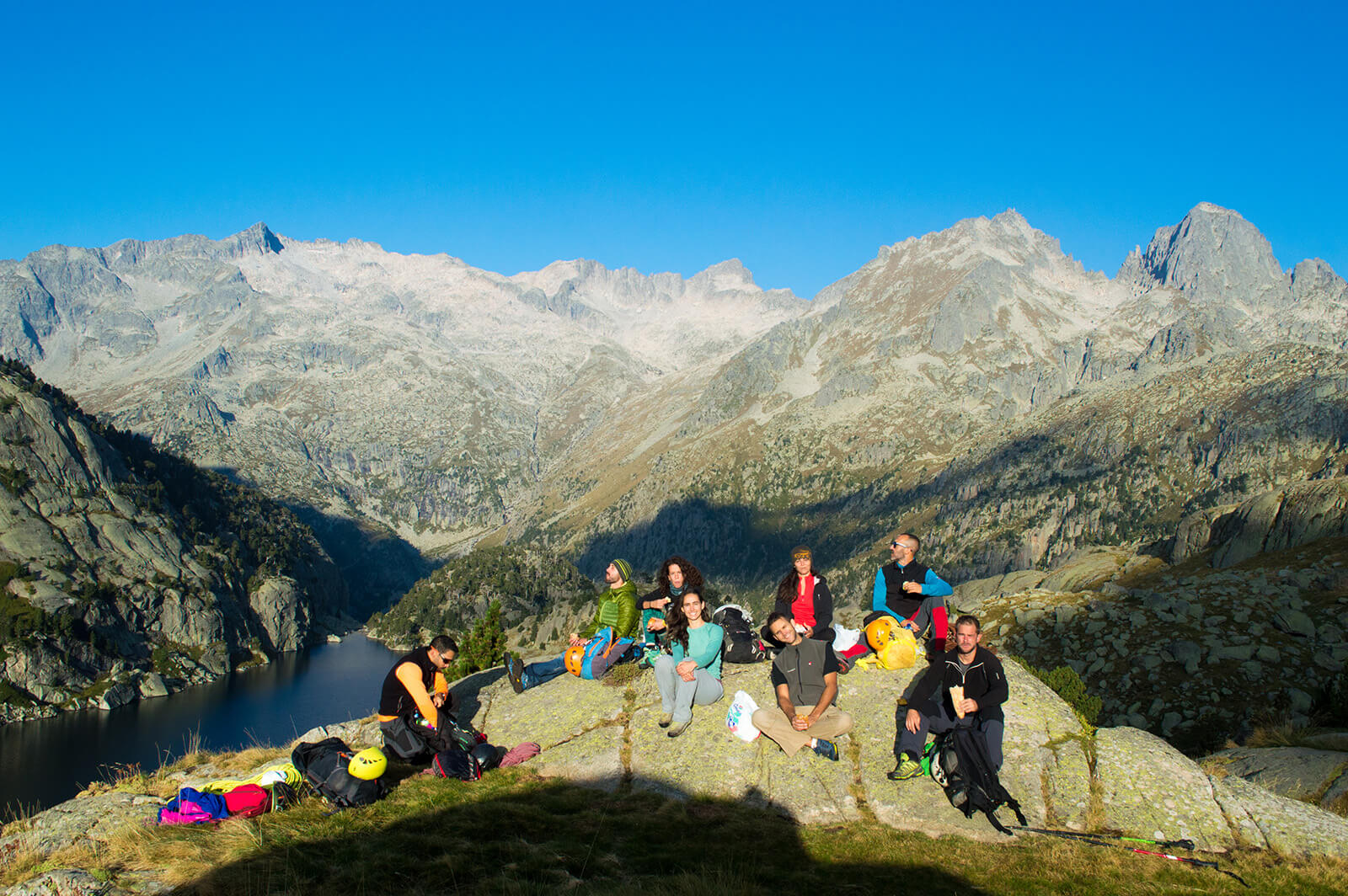
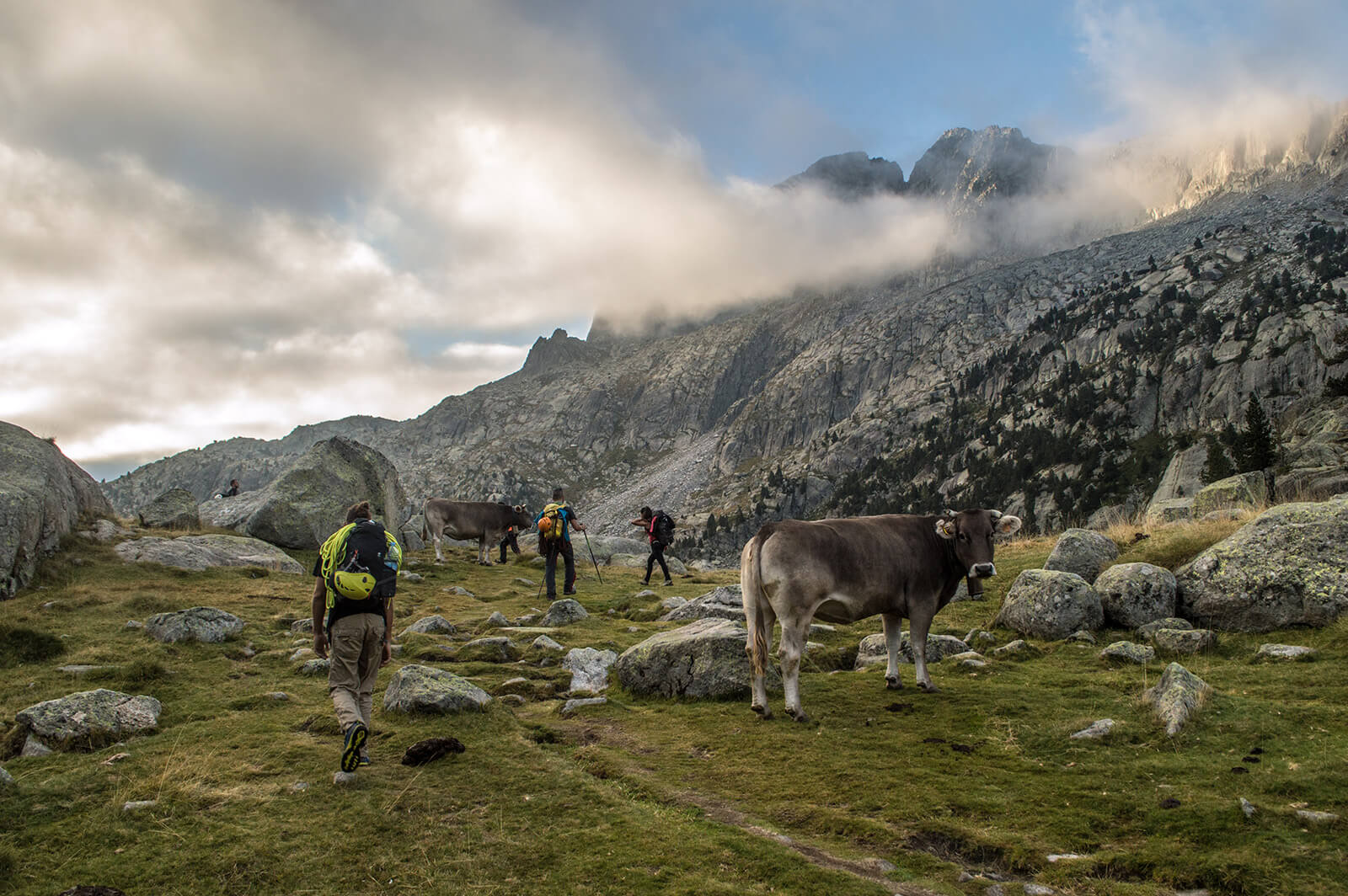
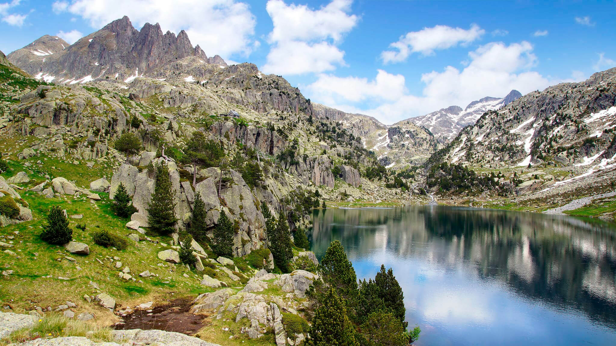
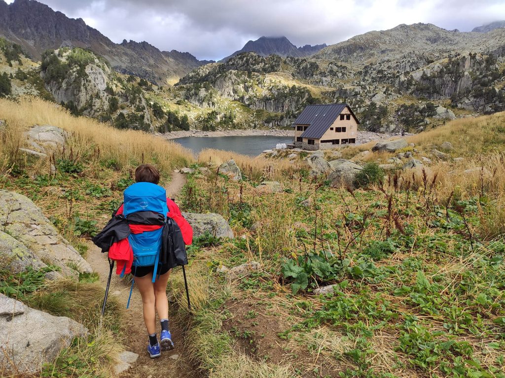
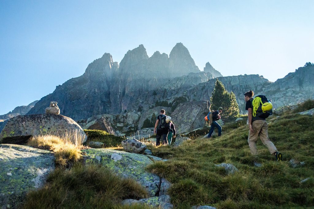
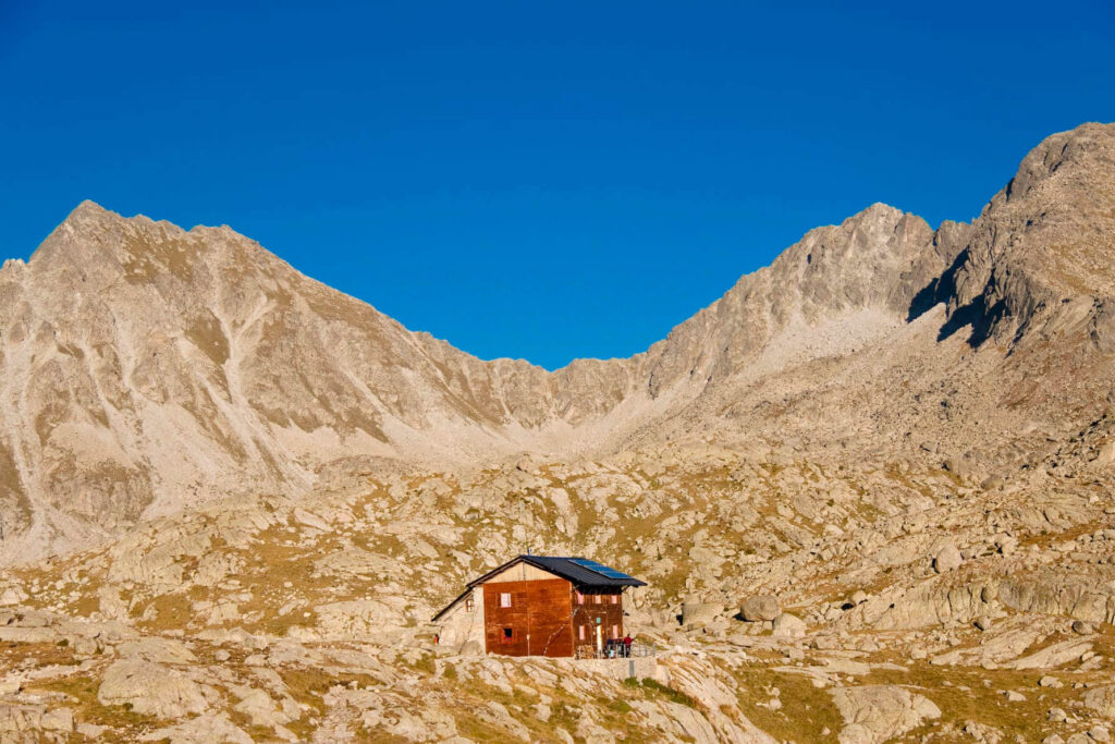
Carros de Foc is a circular trekking route that connects the 9 shelters of the Aigüestortes i Estany de Sant Maurici National Park. The high mountain itinerary, born and devised by the guards in 1987,offering a blend of natural beauty and personal challenge has been a success for participants from the first moment and has become the most popular trekking route in the Pyrenees.
The Carros de Foc trek, which translates to "Chariots of Fire" in English, offers a unique blend of natural beauty, cultural immersion, and personal challenge. Trekkers are drawn to its stunning landscapes, the camaraderie fostered by the mountain huts, and the sense of accomplishment that comes with completing a trek renowned for its difficulty and beauty. Whether you seek adventure, cultural exploration, or a personal journey of growth, the Carros de Foc trek is an unparalleled experience in the heart of the Pyrenees.
What to expect
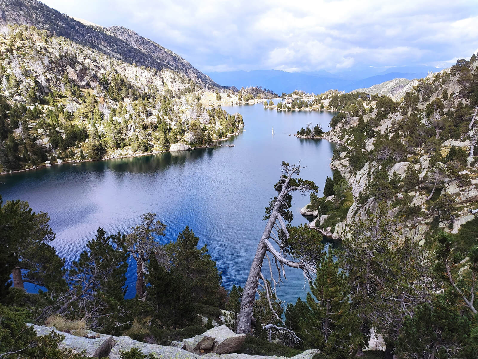
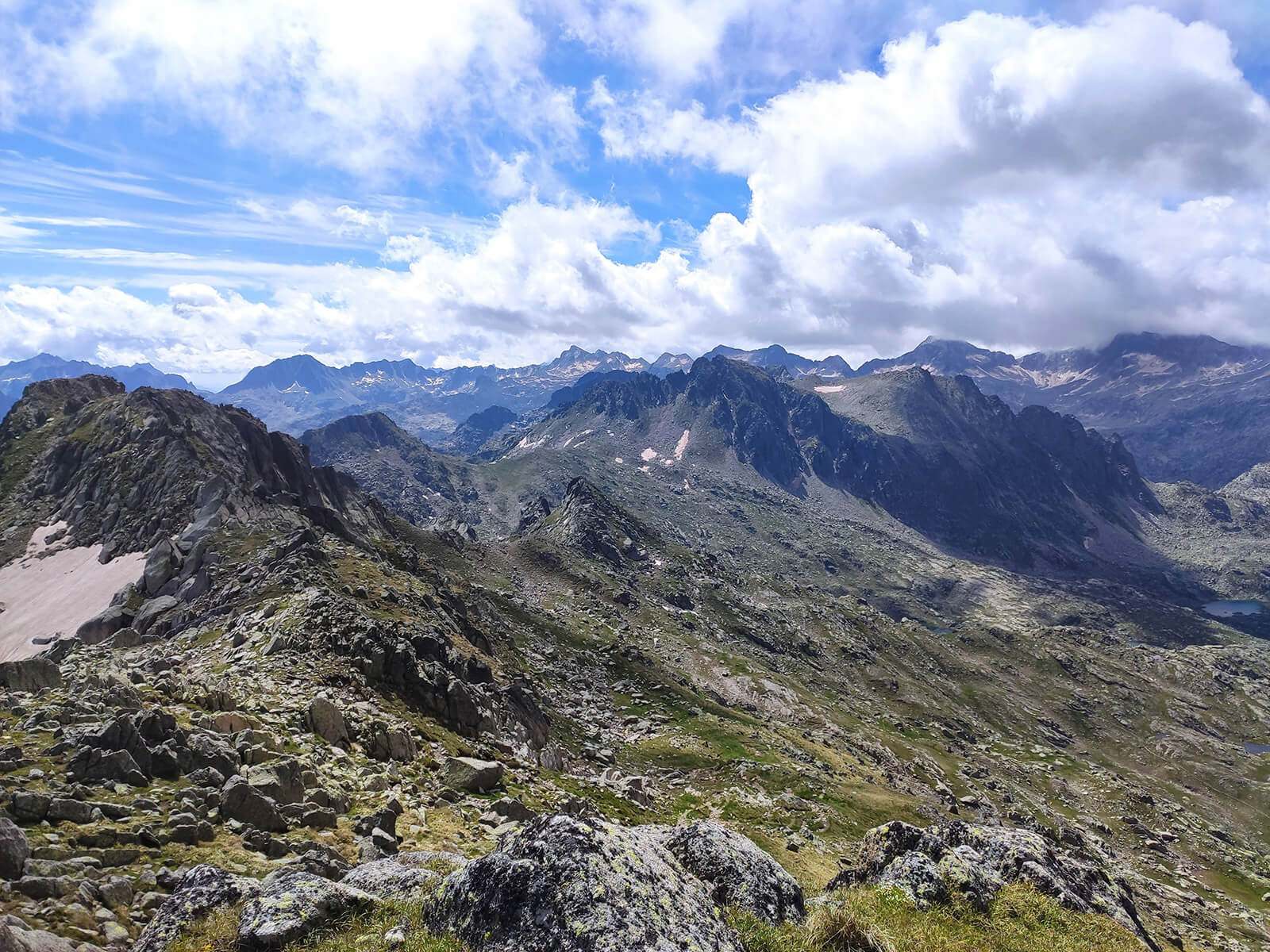
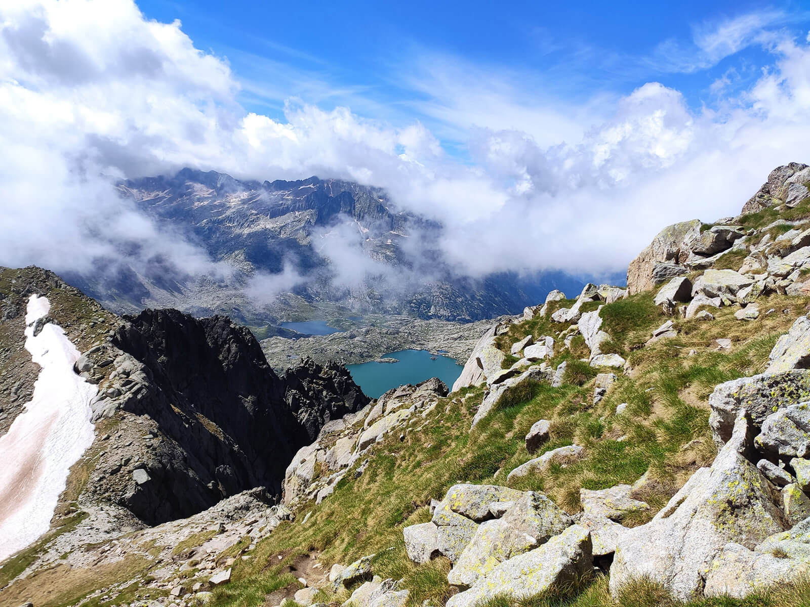
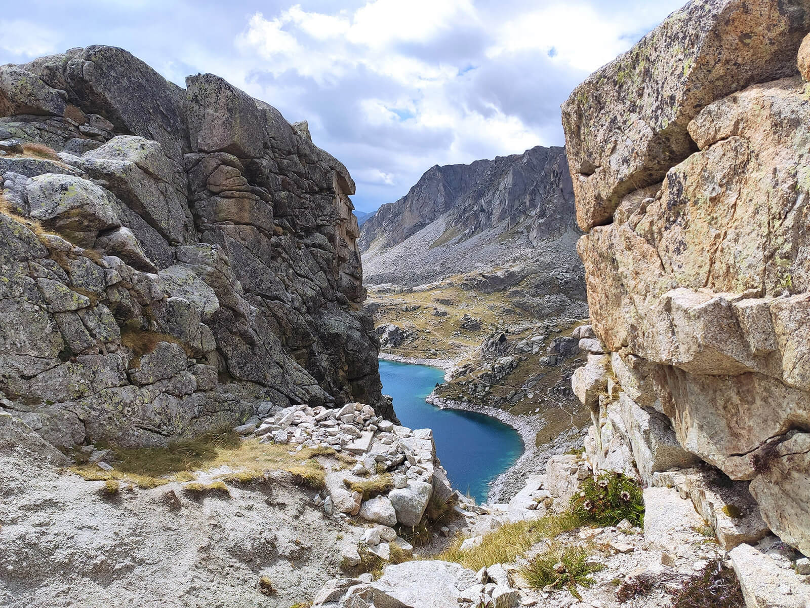
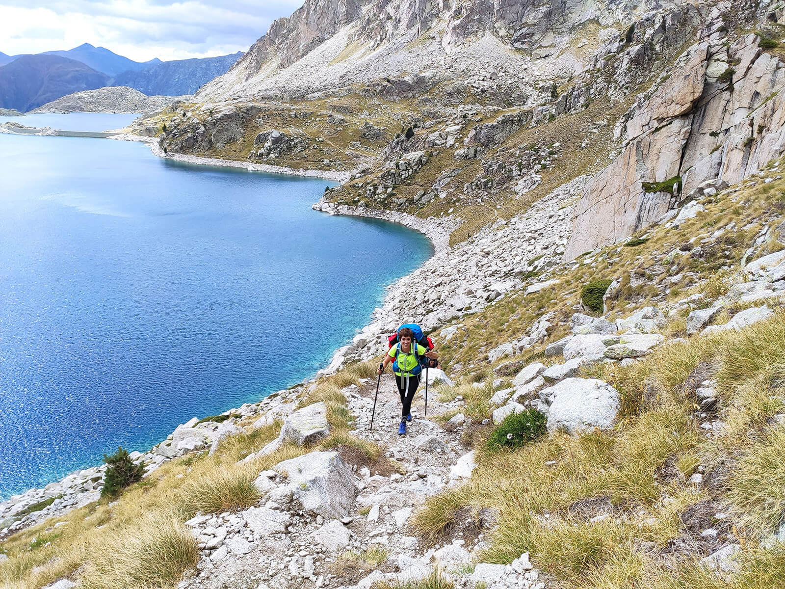
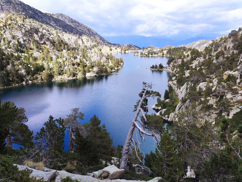
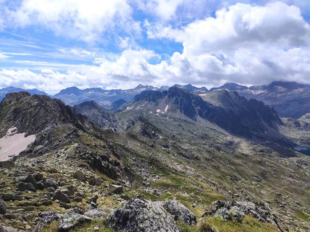
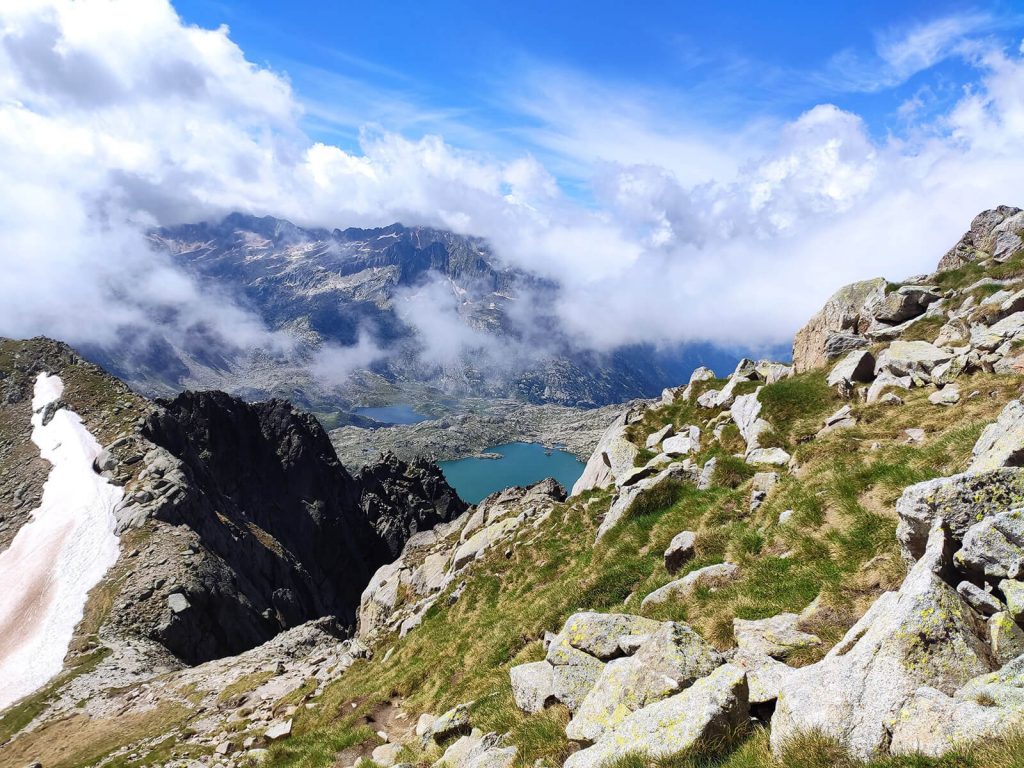
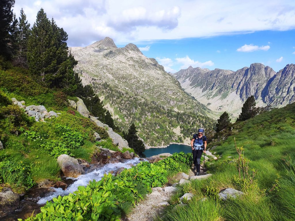
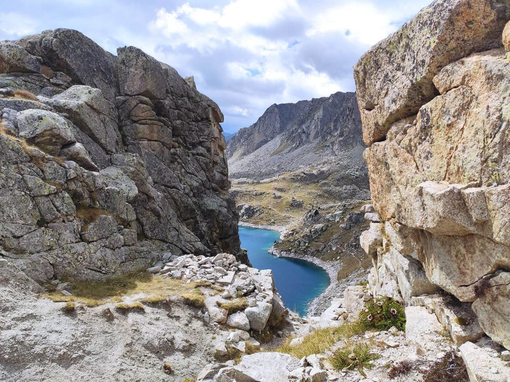
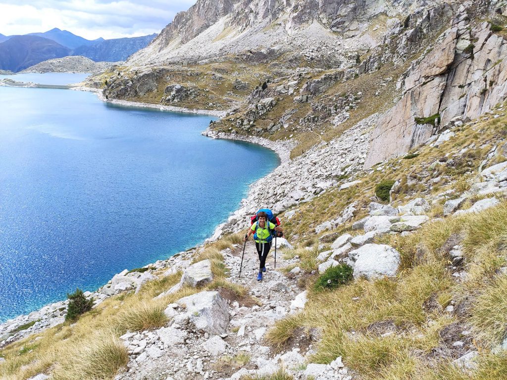
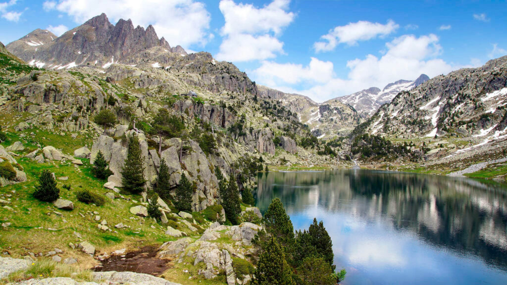
- Spectacular Scenery: Immerse yourself in the breathtaking beauty of the Pyrenees, with stunning views of peaks, crystal-clear lakes, and picturesque glacial -shaped valleys.
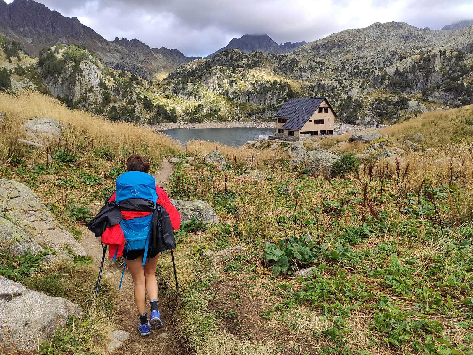
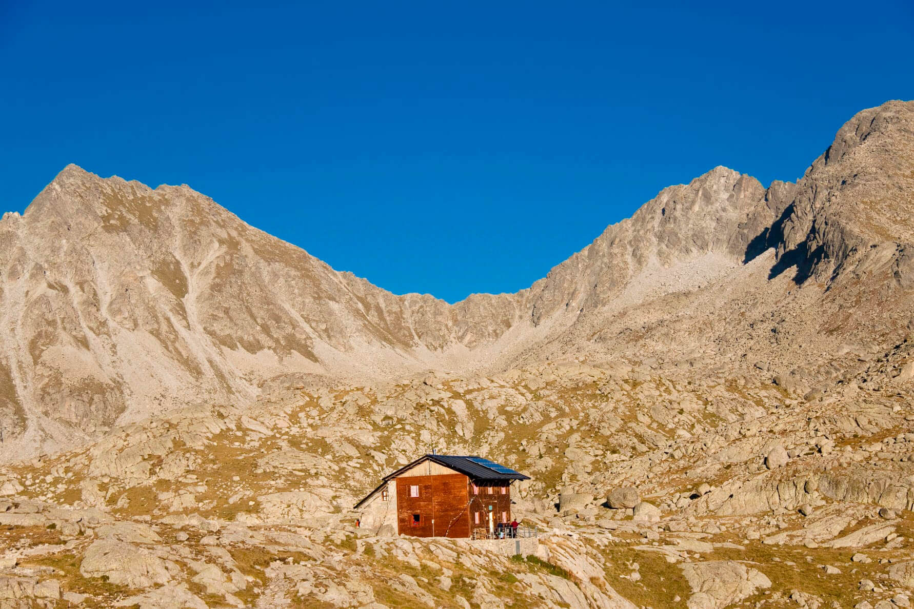
- Unique Refuges Network: The route links four refuges. These refuges offer shelter, meals, and a chance to connect with fellow trekkers.
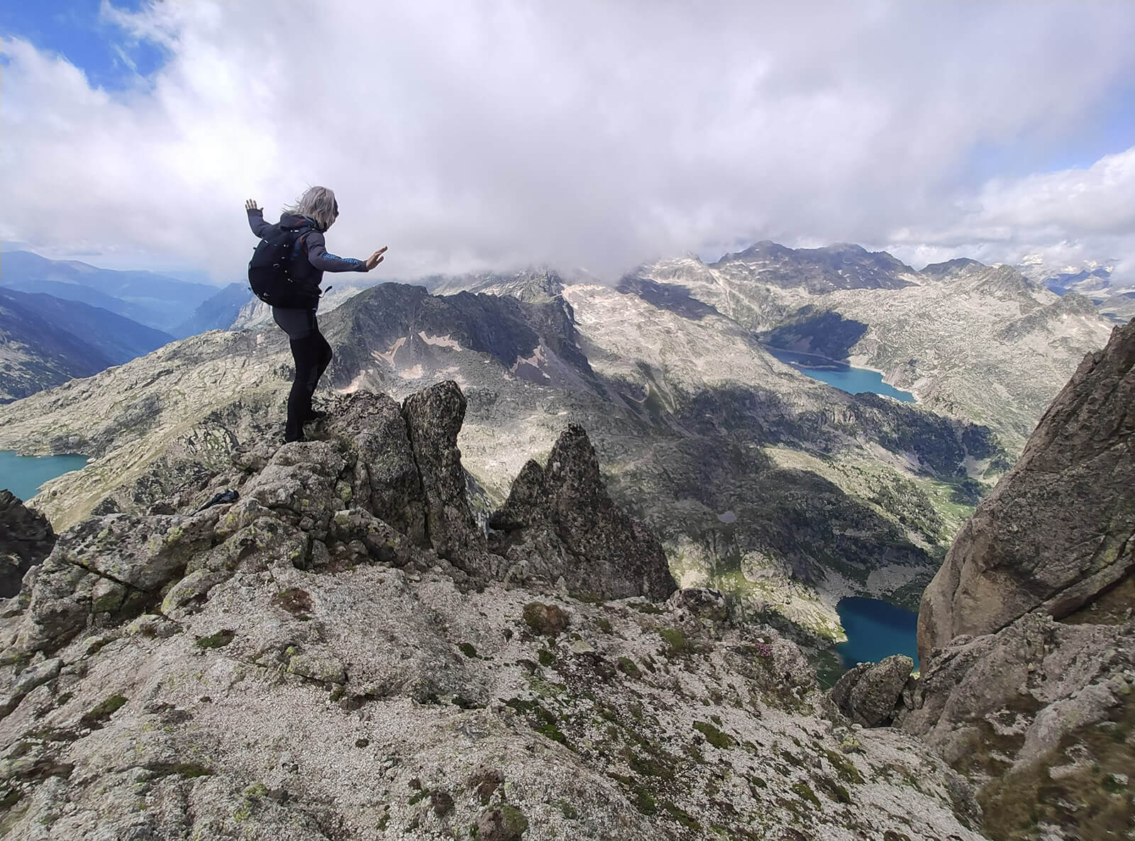
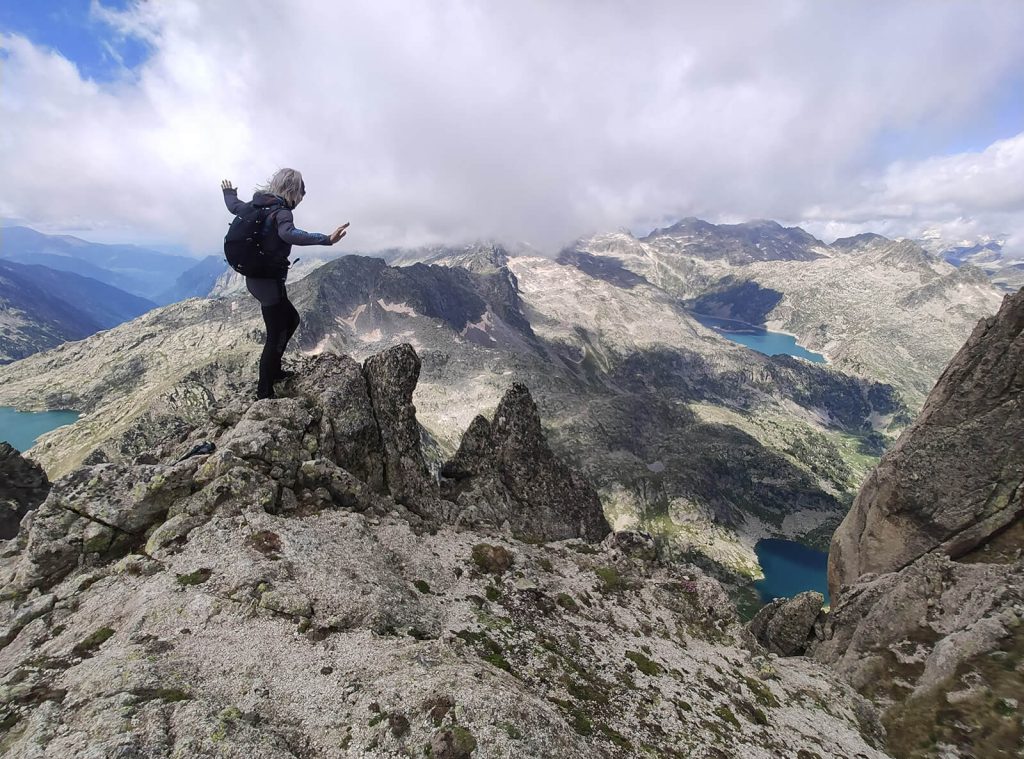
- Challenging Terrain: Push your limits on challenging terrain and feel the accomplishment of conquering a demanding, diverse landscape.
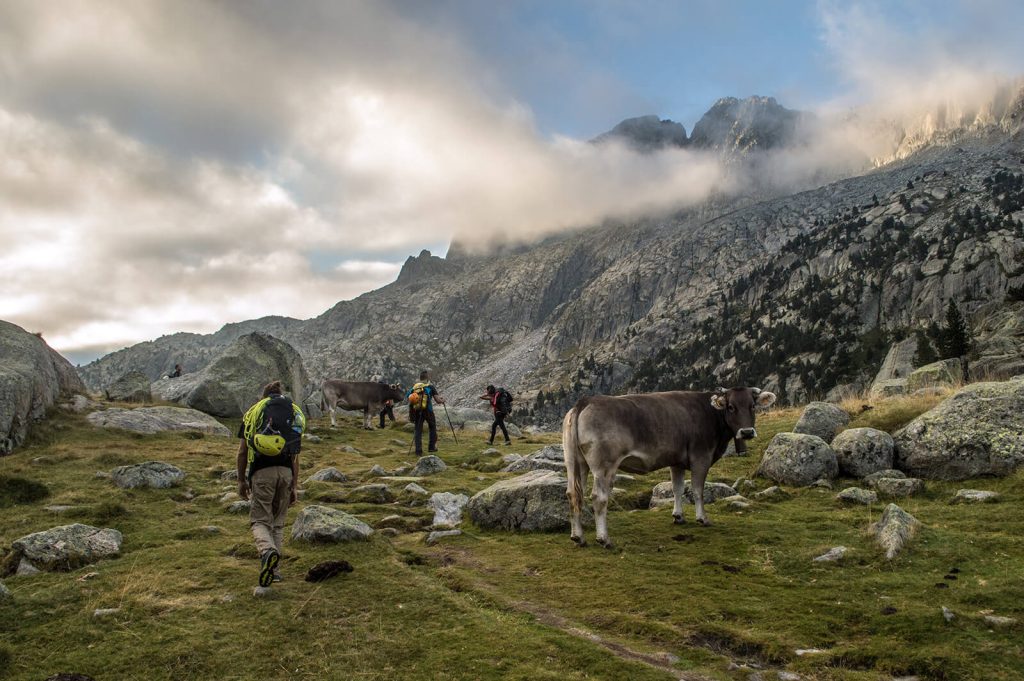
- Diverse Flora and Fauna: Explore diverse flora and fauna in Aigüestortes i Estany de Sant Maurici National Park, spotting wildlife like chamois and marmots along the way.
- Epic workshops: Every journey offers distinct experiences, giving you memories and skills to carry into your own adventures.
Quick details
- Trekking days: 6 days
- Distance: 61km / 38mi
- Elevation gain: 4.660m / 15.300ft
- Difficulty: medium - high
- Lodging: 5 nights in Mountain Shelters

Itinerary
Expand allCollapse allAigüestortes, the national park
Distance: 16km / 10 mi | Elevation gain/loss: 950m+/ 380m- // 3.100 ft+ / 1.250 ft- | Effective time: 6-7h
Meeting with the guide at the starting point. Presentation, review of material and route start.
After we will go by taxi to the Planell of Aiguestortes from where we will start the trekking route.We will pass by the Estany Llong Refuge. We will continue going up towards the Agulles de Delluà and we will pass through the Delluà pass at 2.557m /8.300 ft. From there the route descends towards the carrilet, the remains of an old wagon that transported materials through hydroelectric constructions at the beginning of the 20th century. We will finally arrive at the Colomina Refuge where we will spend the first night.
A world of lakes and electricity
Distance: 10,0km / 6mi | Elevation gain/loss: 600m +/ 600m- // 1.950 ft+ / 1.950 ft- | Effective time: 3-5h
On this stage we will submit a peak of the Peguera valley like the Saburó peak and will finish finish the descent discovering the characteristic hydroelectric systems of the national park
We will start the stage with the spectacular Pas de l’Ós (Bear Pass). We will continue to the Saburó pass at 2.667m /8.750ft. From where we will summit the Pic de Saburó 2.906m / 9.500ft, offering breathtaking views. After the summit, we will descend to Josep Maria Blanc refuge surrounded by a spectacular landscape and lakes where we will spend the night.
Towards Sant Maurici lake
Distance: 13km / 8mi | Elevation gain/loss: 950m+/ 920m- // 3.100ft+ / 3.000ft- | Effective time: 6h
We will start the day ascending the Monestero pass, from here we will have the option of summiting the Monestero peak (2.877m / 9.400ft) or the Peguera ( 2.982m / 9.800ft). We will descend through the vast Monestero valley to the Ernest Mallafré shelter, where we will surround the iconic Sant Maurici Lake. The final climb will bring us up to Amitges shelter where we will spend this night surrounded by the spectacular Agulles d’Amitges.
Easy day half way
Distance: 12km / 7.5mi | Elevation gain/loss: 600+/ 850m- // 2.000ft+ / 2.800ft- | Effective time: 6h
We will start the day with the ascent to the Port de Ratera pass. From here we can summit Tuc de Ratera (2.862m / 9.400ft). At this point we will visualize the Ruda Valley and descend to the Saboredo Refuge. Final climb to the spectacular Coll de Sendrosa and descent to the Colomers Cirque where we will find the Colomers Shelter.
The work of the glaciers
Distance: 15km / 9.3mi | Elevation gain/loss: 1.000m+/ 960m- // 3.280ft+ / 3.150ft- | Effective time: 6-8h
Today we will go into the great Colomers Cirque. We will start the day ascending to Port de Caldes pass. We will then cross the Port de Rius to descend to the Restanca shelter. From here we will make our way up to Port de Rius to climb the Coll de Tumeneia. Both options will bring us to Ventosa i Calvell shelter.
The highest crossing before the end
Distance: 12km / 7.4mi | Elevation gain/loss: 770m+/ 1100m- // 2.500ft+ / 3.600ft- | Effective time: 8h
Today is the last day of the route where we will meet the famous Coll de Contraix (2.747m / 9.000ft), the highest pass of the entire crossing. Then we will start the descent to the Refuge d'Estany Llong. From the shelter, we will continue to the Plainell d'Aiguestortes, where we will take the 4×4 taxi back to BoÃ.
Inclusions
- Planning, route preparation and pre-trip online assistance.
- UIMLA Certified mountain guide
- Accident insurance
- Transportation from Espot to the trekking route start point and back
- 5 night Mountain shelter accommodation in half board (dinner & breakfast)
- Welcome Pack: Exclusive Epic shirt of the trek & original topographic map of the region
Exclusions
- Flight tickets
- Transfer to/from Boi (ask if you need a transport)
- Meals not specified as included
- Extra expenses at the mountain shelters such as drinks, hot showers or wifi
- Expenses caused by abandoning the route for any reason
Mandatory gear
- Waterproof windbreaker
- Warm clothing
- Breathable and comfortable clothes
- Long pants
- Mountain socks
- Mid to high-cut hiking boots
- Gloves, neck gaiter, and hat
- Change of clothes for the shelters
- Waterproof poncho/cap
- Backpack cover
- Sunglasses, sunscreen, lip balm
- Appropriate backpack
- Headlamp
- Sleeping bag liner (blankets available in shelters)
- Telescopic trekking poles
- Earplugs (recommended)
Route requirements
- Min age: 16 / Max age: 70
- Physical & endurance requirements: trip participants need to be in good shape and capable of trekking over mixed terrain for long distances (around 8 hours). On average our trekking days are 5-7 hours per day.
- Type of terrain: rocky terrain with sometimes loose rocks
How to arrive to the route start point
PRIVATE TRANSPORT: Available on request
PUBLIC TRANSPORT:
Alsa Bus from Barcelona Nord station to el Pont de Suert
Local Taxi from Pont de Suert to Boi
+34 692525490
+34 695864955
You May Also Like
Customer Reviews
Are you interested in this tour?
Fill out the form, and we’ll get in touch with you to provide more information and answer any questions.